8/5/2013
8/5/2013
8/5/2013
Landmark information
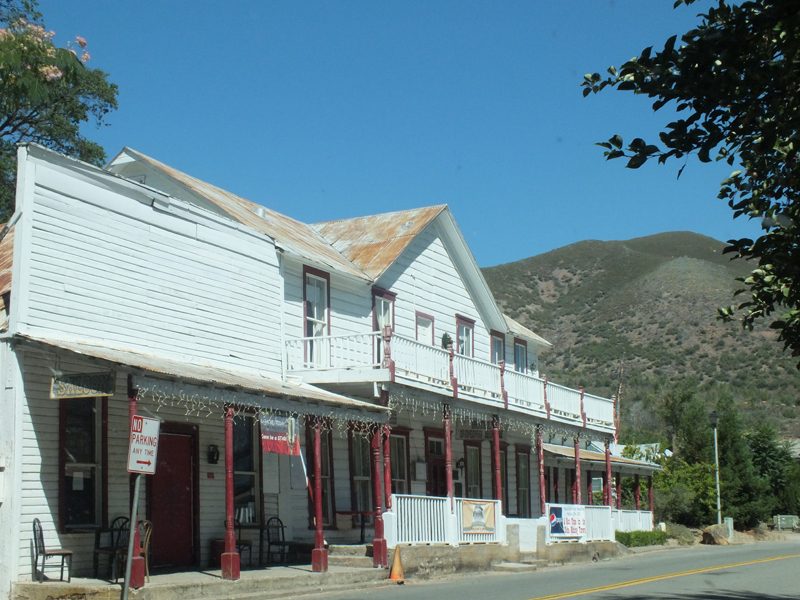
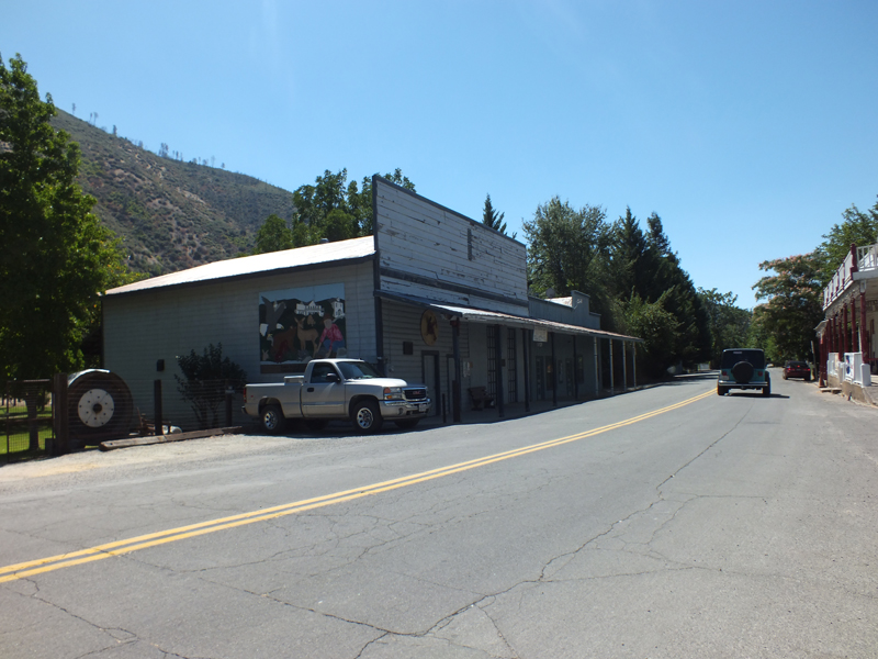
- Location:
3 mi E of Hwy 299 (PM 8.6) on Trinity Hill Rd, French Gulch - Plaque:
Official State Plaque - Site:
Existing - Date First Visited:
10/11/1998 - Date Most Recently Visited:
8/5/2013 - GPS Coordinates:
N 40 41.871, W 122 38.299 - Other Designations:
National Register of Historic Places
About this landmark
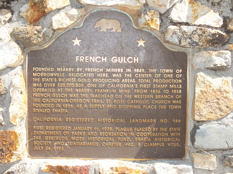
Plaque text:
French Gulch
Founded nearby by French miners in 1849, the town of Morrowville, relocated here, was the center of one of the state's richest gold producing areas. Total production was over $20,000,000. One of California's first stamp mills operated at the nearby Franklin Mine. From 1856 to 1858 French Gulch was the trailhead on the western branch of the California - Oregon trail. St. Rose Catholic Church was founded in 1856. As a supply and stopping place the town rivaled Shasta.