3/25/2009
3/25/2009
3/25/2009
3/25/2009
Landmark information
- Location:
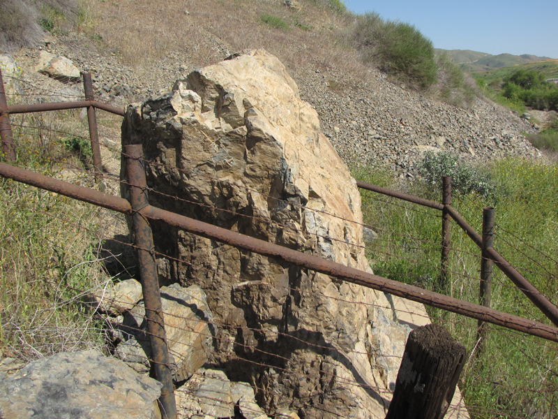
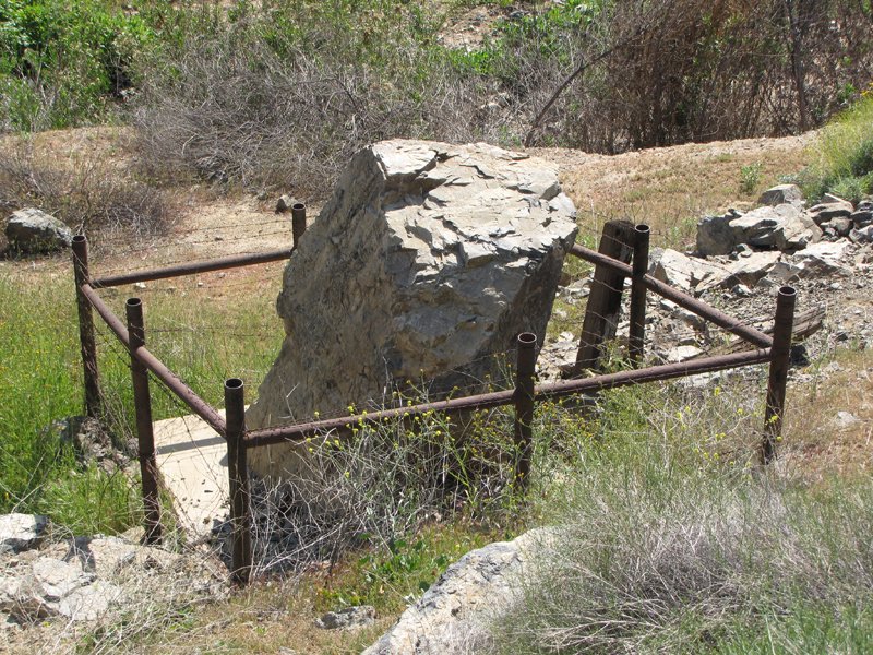
From Temescal Rd, go 0.2 mi E on Dawson Canyon Rd (road to dump). Site is along S side of creek approximately 100 yds S of the turn-out (at the dump gate). - Plaque:
Official State Plaque - Site:
Existing - Date First Visited:
12/5/1996 - Date Most Recently Visited:
7/15/2017 - GPS Coordinates:
N 33 47.021, W 117 29.033
About this landmark
From the state:
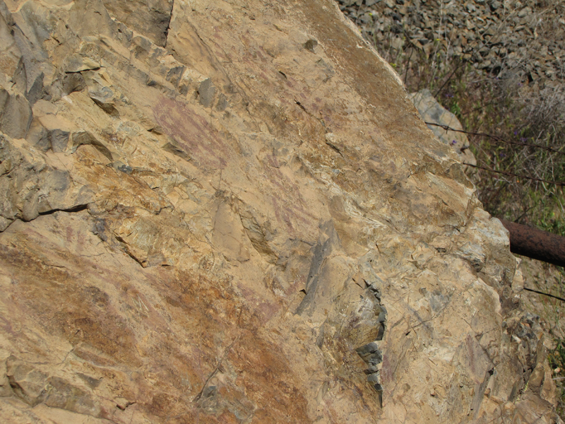
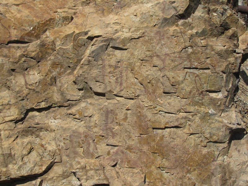
In tribute to the earliest record of any people in this region, the Santa Fe Railway has preserved this rock with its ancient pictograph, and the Committee of the Corona Women's Improvement Club has placed this tablet.