1/16/2025
1/16/2025
Landmark information
- Location:
On State Hwy 49 (PM 26.4), 1.4 mi S of Mokelumne Hill - Plaque:
Official State Plaque - Site:
Nothing Remains - Date First Visited:
3/1/1996 - Date Most Recently Visited:
1/16/2025 - GPS Coordinates:
N 38 16.838, W 120 42.516
About this landmark
Plaque text:
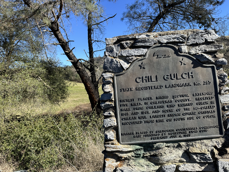
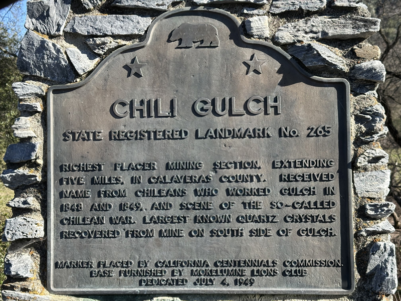
Chili Gulch, near Mokelumne Hill
Chili Gulch
Richest placer mining section, extending five miles, in Calaveras County. Received name from Chileans who worked gulch in 1848 and 1849, and scene of the so-called Chilean War. Largest known quartz crystals recovered from mine on south side of gulch.