12/6/1996
Landmark information
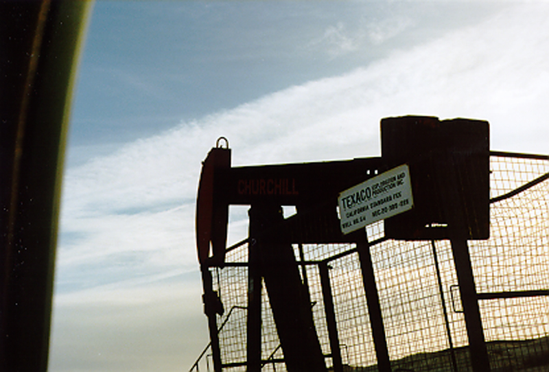
- Location:
McKittrick Field, 400 ft N of Well #CS-54, 0.4 mi N of State Hwy 58 (PM 15.1), 1 mi S of McKittrick - Plaque:
No Plaque - Site:
Existing - Date First Visited:
12/6/1996 - Date Most Recently Visited:
12/6/1996 - GPS Coordinates:
N 35 17.893, W 119 38.04
About this landmark
From the state:
This well was one of the early wells that in 1899 started a new oil field called the McKittrick Field. The well pumped about 150 barrels of oil per day for the first six months - its last production was in April 1929.