11/23/2003
6/10/2015
3/14/1998
11/23/2003
11/23/2003
6/9/2017
6/9/2017
6/9/2017
11/23/2003
Landmark information
- Location:
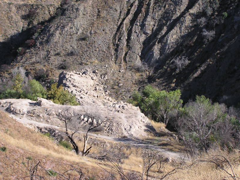
San Francisquito Power Plant #2, 32300 N San Francisquito Canyon Rd, 9.2 mi N of Saugus; site 1.5 mi NE of power plant - Plaque:
Official State Plaque - Site:
Existing - Date First Visited:
3/14/1998 - Date Most Recently Visited:
12/22/2022 - GPS Coordinates:
N 34 32.102, W 118 31.531
About this landmark
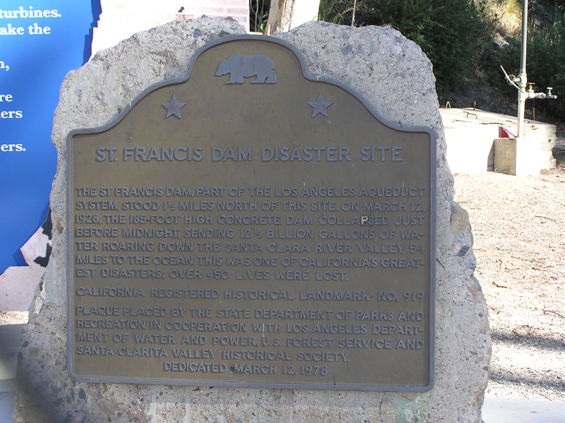
Plaque text:
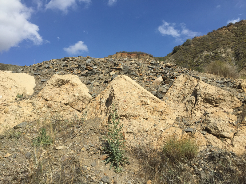
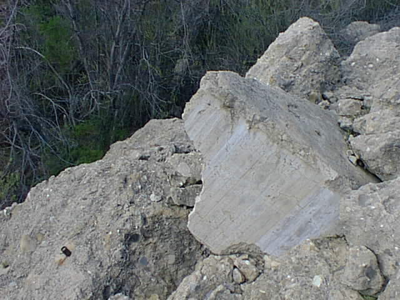
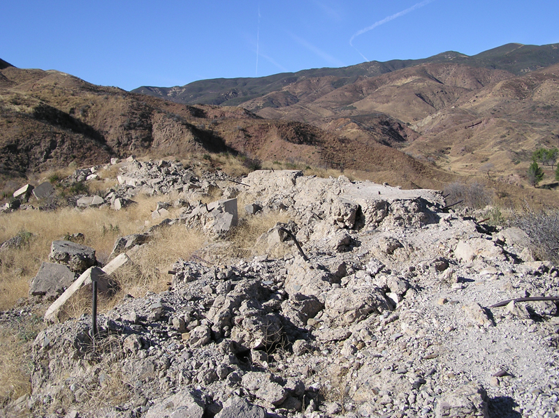
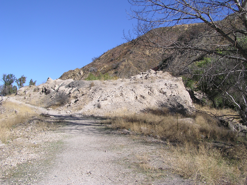
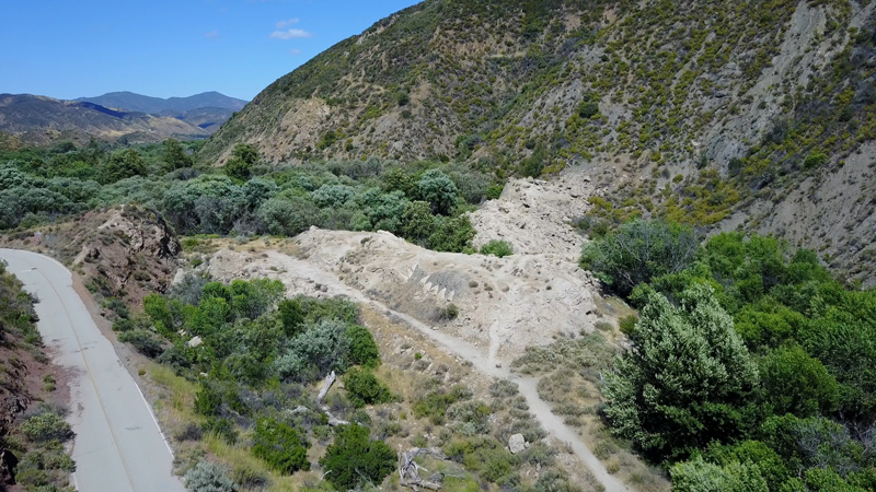
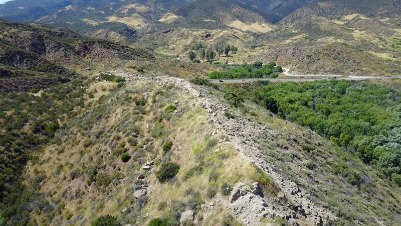
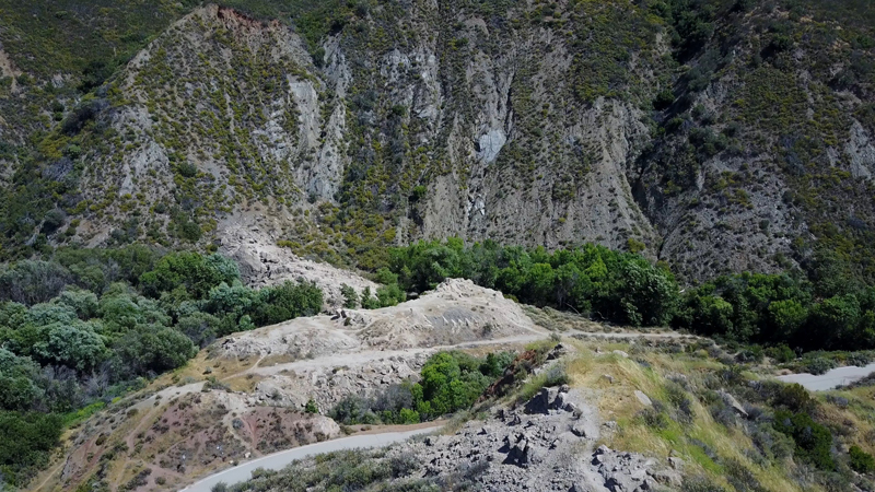
St. Francis Dam Disaster Site
The St Francis Dam, part of the Los Angeles aqueduct system, stood 1 1/2 miles north of this site. On March 12, 1928, the 185-foot high concrete dam collapsed just before midnight, sending 12 1/3 billion gallons of water roaring down the Santa Clara River Valley 54 miles to the ocean. This was one of California's greatest disasters; over 450 lives were lost.