6/11/2016
6/11/2016
6/11/2016
Landmark information
- Location:
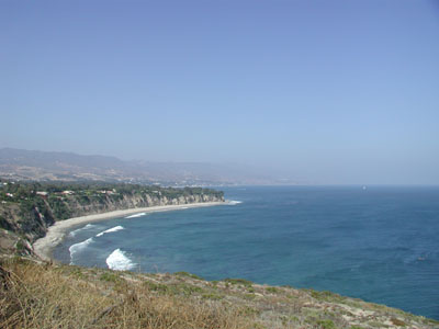
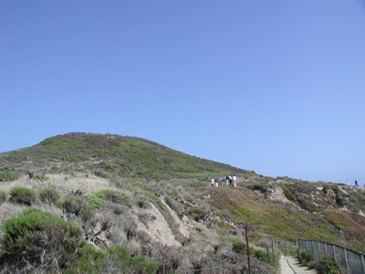
Nearest intersection: Cliffside Dr and Birdview Ave. Park at end of Westward Beach Rd (Westward Beach). Take the path up the cliff and clockwise around and up to top of point, Malibu - Plaque:
Official State Plaque - Site:
Existing - Date First Visited:
7/16/2000 - Date Most Recently Visited:
6/11/2016 - GPS Coordinates:
N 34 0.075, W 118 48.387
About this landmark
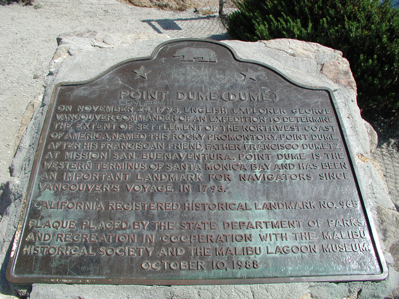
Plaque text:
Point Dume (Dumé)
On November 24, 1793, English explorer George Vancouver, commander of an expedition to determine the extent of settlement of the northwest coast of America, named this rocky promontory, Point Dume, after his Franciscan friend, Father Francisco Dumetz, at Mission San Buenaventura. Point Dume is the western terminus of Santa Monica Bay and has been an important landmark for navigators since Vancouver's voyage in 1793.