Europe 2004: Amsterdam ![]() and Scotland
and Scotland ![]()
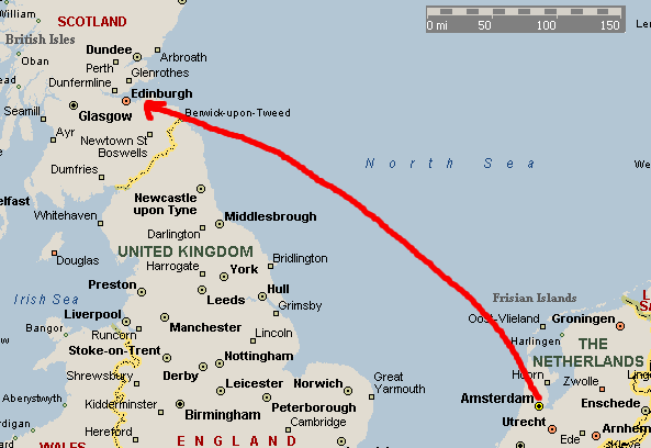
After our tour of Amsterdam, we hopped over the North Sea to Edinburgh, Scotland.
For reference, the city center of Edinburgh looks like this:
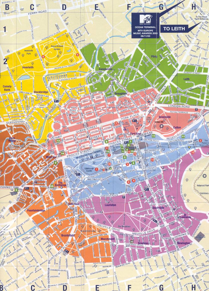
We mostly stuck to the blue and pink sections, which have Edinburgh castle, the Royal Mile, and Calton hill. Our B&B was a mile or so off to the West of this map.
While Jen was toiling away in the salt mines, I got a chance to see Edinburgh castle which she'd already seen.

|
 |
This view of the castle comes from the park and shows the the north-west side. As you can see, the castle sits up on a big rock (something about basalt rock from a long extinct volcano...), and has a commanding view of the surroundings as a result.

North facing view from Edinburgh castle, with Princes Street in the foreground, and the Firth of Forth just beyond the city.
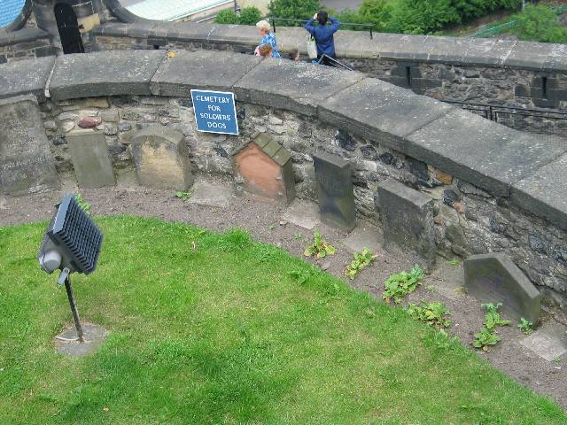
| This cracked me up when I saw it - just over the battlements in one spot is the soldiers' dog cemetery, complete with inscriptions on the tombstones. "Here lies Scamp, nay will there ever be such a loving pooch..." |
 |
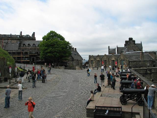
| This shot gives an idea of what it is like to be "inside" the castle. This is looking West after entering the main portcullis gates. You're basically on a street that spirals up to the left to the upper parts of the castle. There are buildings that at different times served as a governor's mansion, troop garrisons, etc. Interestingly, the "castle" is really formed as a bunch of different buildings: lodgings (for various persons e.g. soldiers, royal persons, etc.), chapel, prison, great hall, etc., that are all behind a big wall on a hill. I always thought of a castle as more or less a single structure. Live and learn, I guess. |
|
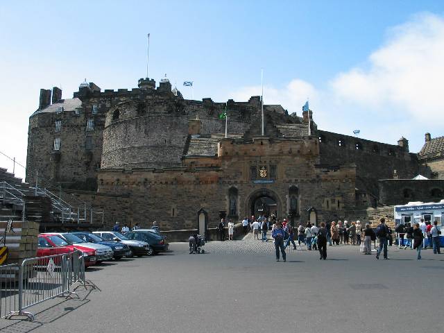
| One last shot of the castle as I'm leaving, showing the main entrance gate. This is the eastern side of the castle. Behind me is the "Royal Mile", a gently downhill sloping series of streets (Lawnmarket, High Street, Cannongate) that I'm sure at one time used to house industries that served the interests of the castle, but now serve the interests of the tourists! |
|
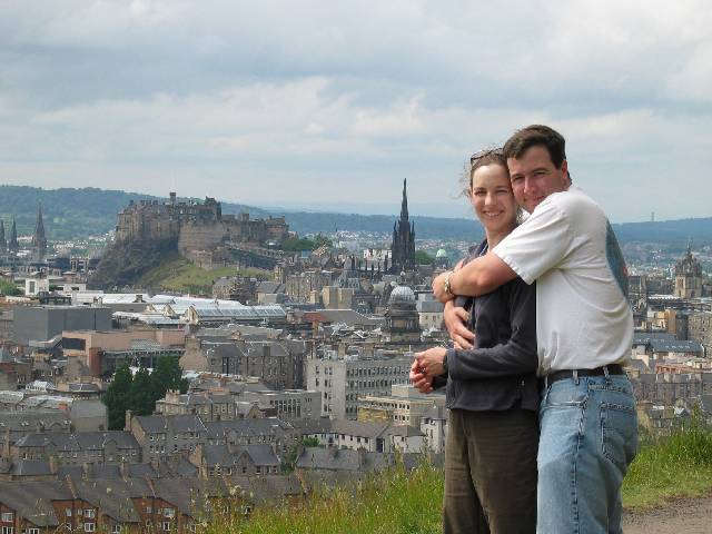
We had a nice hike in Holyrood park. Here's a shot overlooking the Castle.
Once Jen was off work, we set off for a joint holiday - up North to Fort William!
|
On the way, we stopped at Glencoe, which is a beautiful valley.

At a roadside lookout, we were treated to a wonderful, complete with bagpipe seranade!
| Fort William was a quaint little town by
the side of Loch Linnhe (rhymes with tinny). Even the road signs
were entertaining!
|
|
|
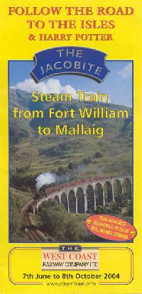 |
| Mallaig is a fishing village with many colorful fishing boats, and offers ferry service to the Isle of Skye. We poked around town for a while before taking the train back to Fort William. |

|
| Low tide at Mallaig. |
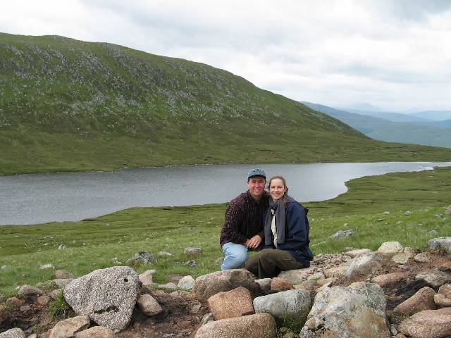
Our next effort in Fort William was a hike of Ben Nevis (Mt. Nevis). This mountain in 4400 feet, and the trail is 10 miles round trip. This works out to an average of out 16.5% grade, and the trail is all rocks. The sheep didn't seem to have a problem, however.
|
This loch was about halfway up the trail, where we stopped for a snack and a picture. |
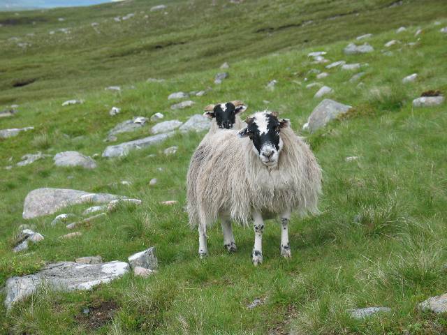
Some friendly natives on the Ben Nevis trail...
|
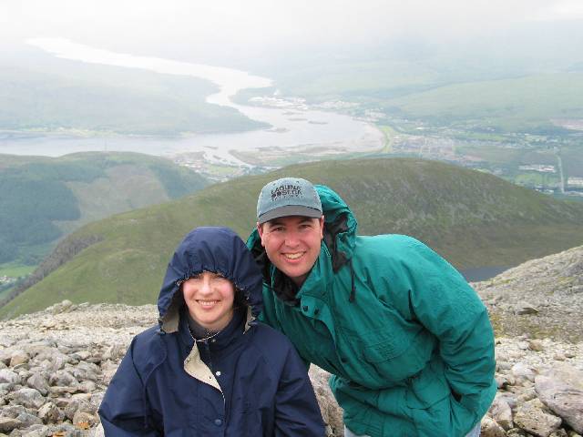
| Here's a view from near the top. At this point, we were starting to get into the clouds, and the snow was starting to fall, so we thought a picture here would be good. The temperature was probably a few degrees below zero, maybe 20F with wind chill. You can see the loch from the earlier picture behind Wil's left shoulder. Loch Linnhe is on the left of the picture, and the Caldonian canal enters (all the way from the North Sea via Loch Ness!) just above my head. We're only a couple hundred feet from the summit here, and the landscape has turned entirely to scree. Note that we started at Loch Linnie's elevation - very near sea level. |
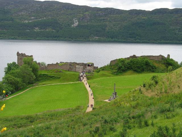
| Of course, no visit to Scotland (by Americans, anyway) would be complete without a visit to Loch Ness. We visited the ruins of Urquhart castle, which is on a short promontory on Loch Ness's northern bank. |
|
| Urquhart ruins, from the roadway. Note the depression which formerly acted as a moat, and the path now crosses what used to be a drawbridge over the moat. |
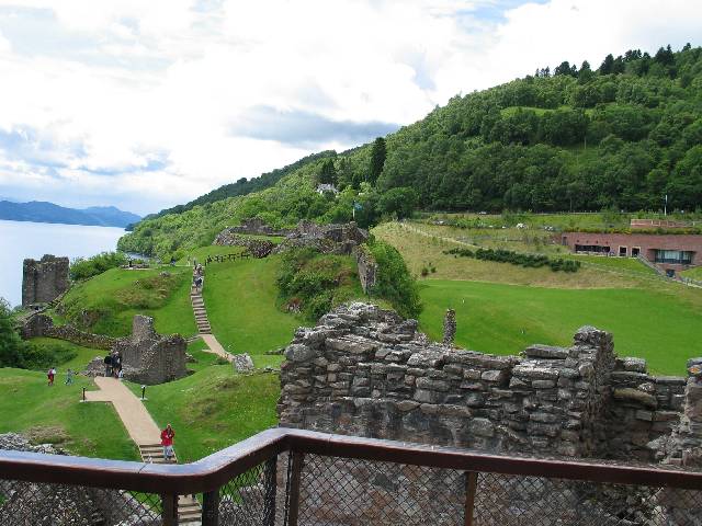
The castle ruins, from the tower. The visitors center can be seen embedded into the hillside at the right. The grassy area to the left was something of a courtyard between buildings and perimeter walls that made up the castle. |
|
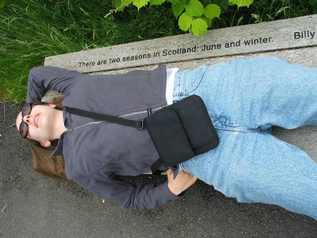
Alas, this bench says it all. We had fabulous weather during our June vacation - "just enough rain so you'd know it was Scotland". It started pouring on the day of our departure, so we made haste back to sunny CA!
See Amsterdam for the previous part of our trip!