Ride of the Centuries
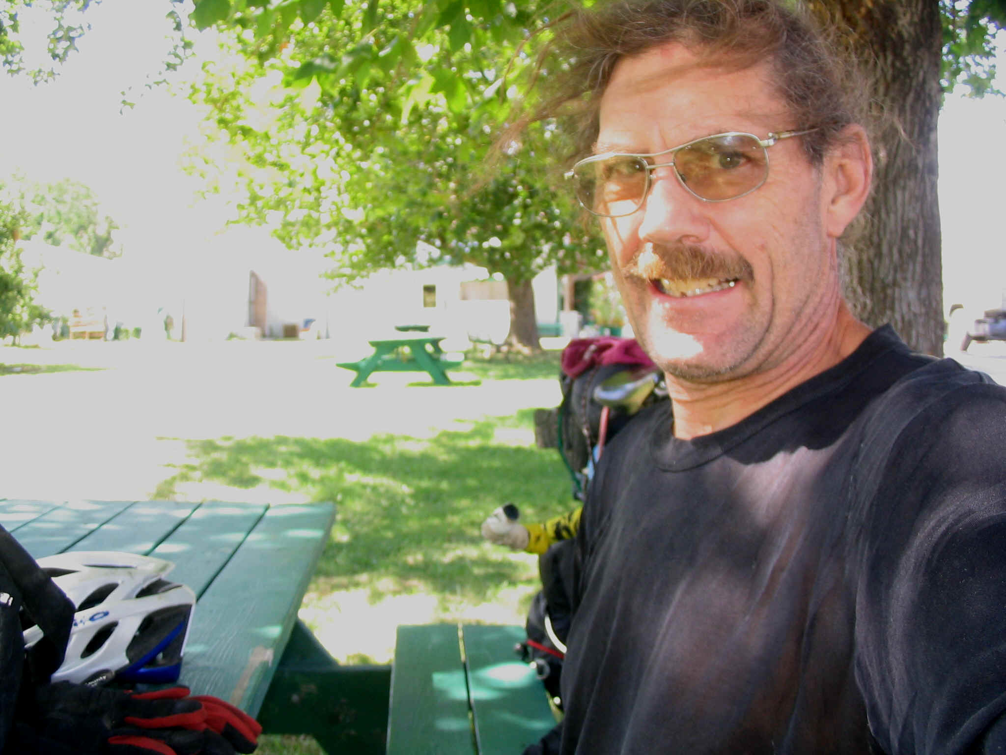
Eric’s Walkabout
It had been two years since I had even ridden a road bike. I was primed for another session of touring. A Cascades loop and the Olympic Peninsula seemed to call from the Northwest, an area that I have spent very little time, but knew that immense beauty exists up there. The adventure’s first spike was flying over Mt. St. Helens with a clear view of the explosion that occurred twenty five years ago. The power of natural forces dwarfs our puny efforts to change the face of the world.
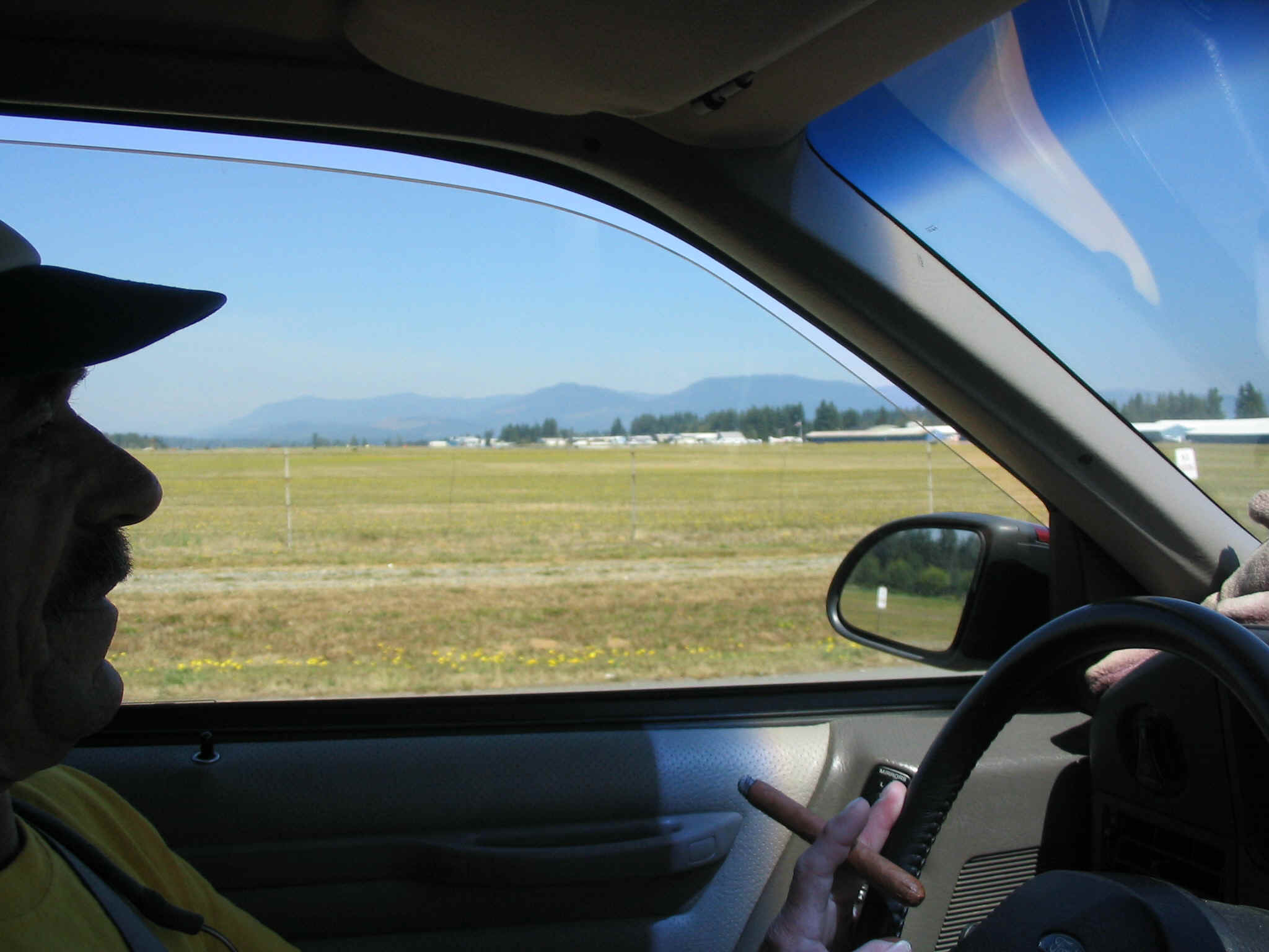
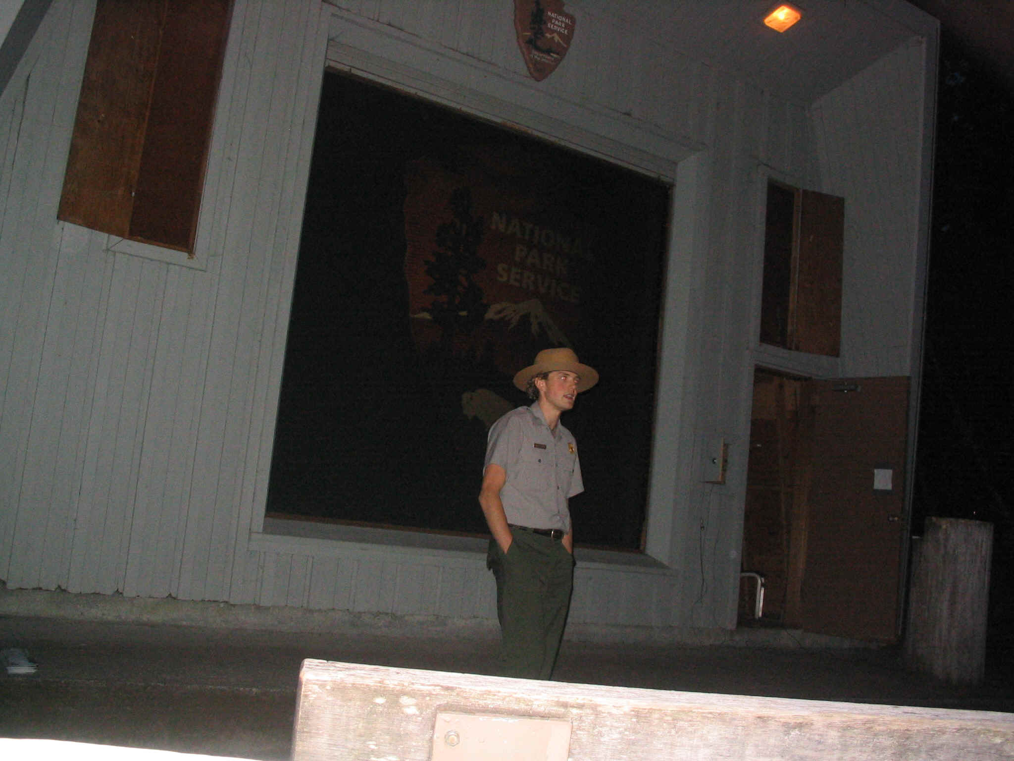
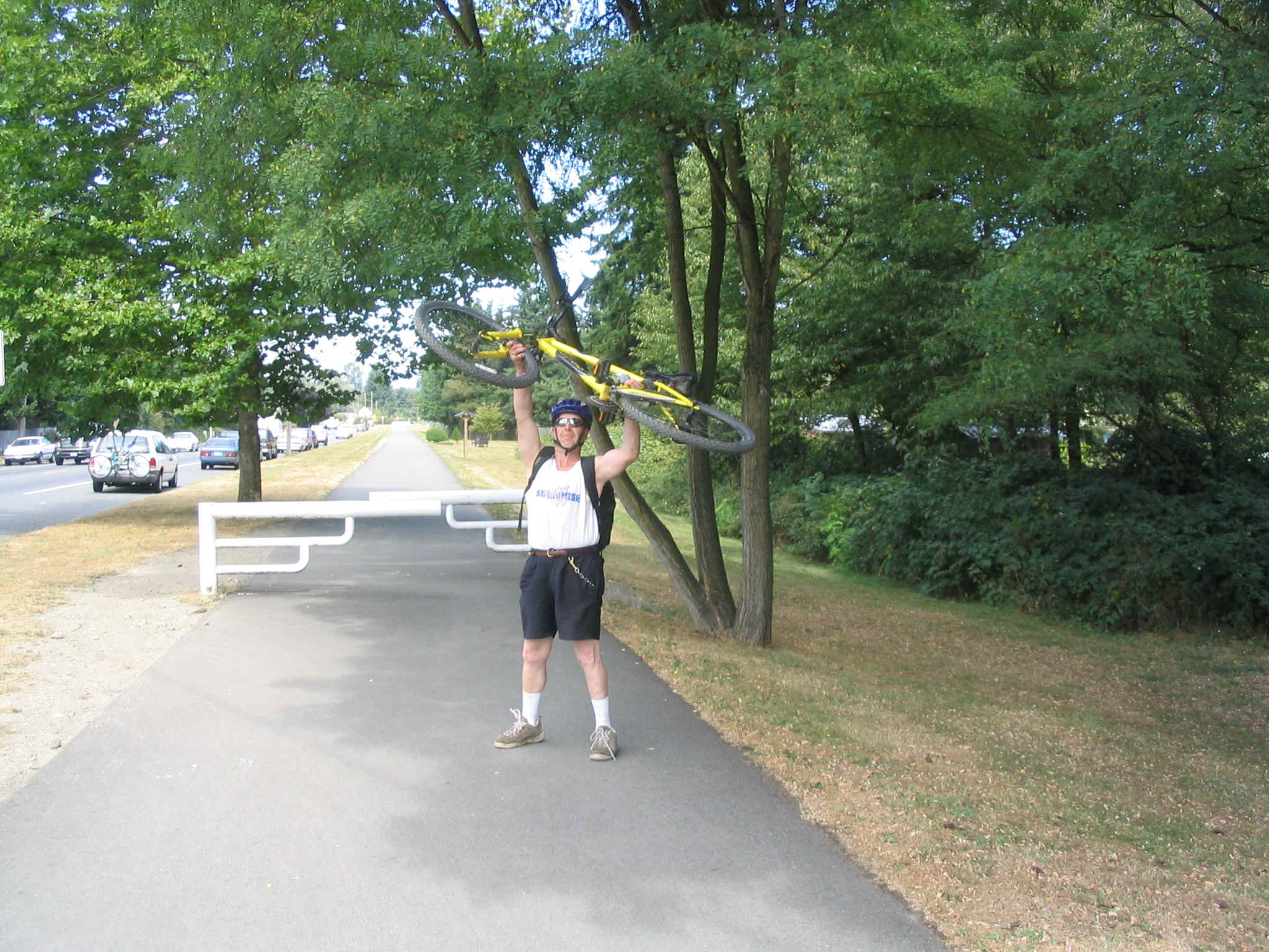
Mark picked me up at the airport and we drove to Arlington, forty miles north of Seattle. On Saturday we packed up his car and headed off to the Cascades. We drove a very scenic back road until we connected with highway 20 which is part of the Cascades loop. We drove to Colonial Creek Campground which is located at the western end of the National Park. After a pleasant evening including the ranger talk about edible plants, Mark headed back to Arlington and I started my journey on the bicycle.
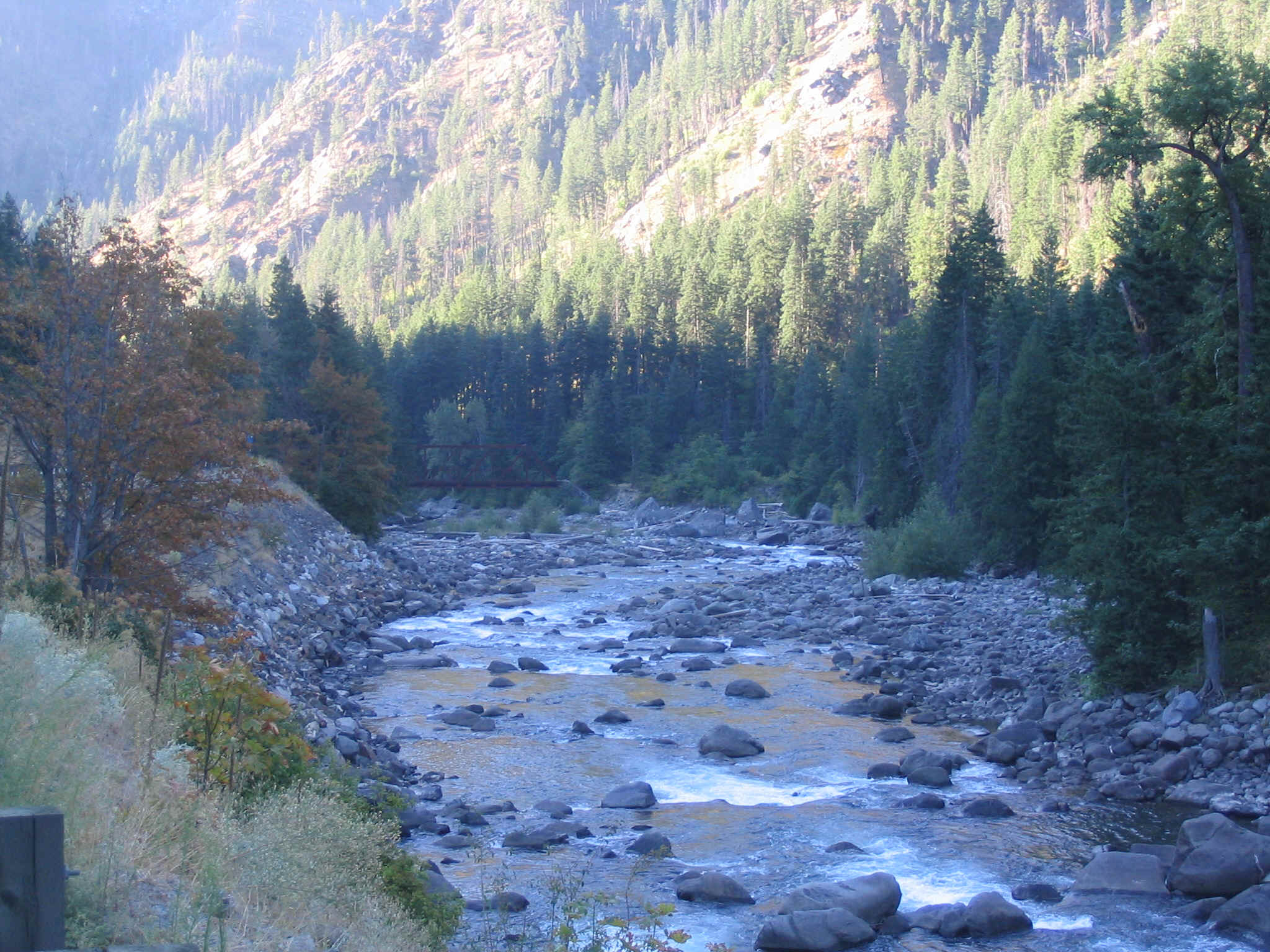
I had to meter my energy output as I hadn’t been on a tour lately. The mountain bikin’ has little in common with the road effort. The eastbound road would climb for over twenty five miles. On this first day, I felt it early on. The day was pleasant and warm, the sky was clear. The conditions were as nearly perfect as they get. Traffic was light and there were few trucks. The only annoyance was the 100+ mile per hour motorcycles who use this route as an unsanctioned Grand Prix.
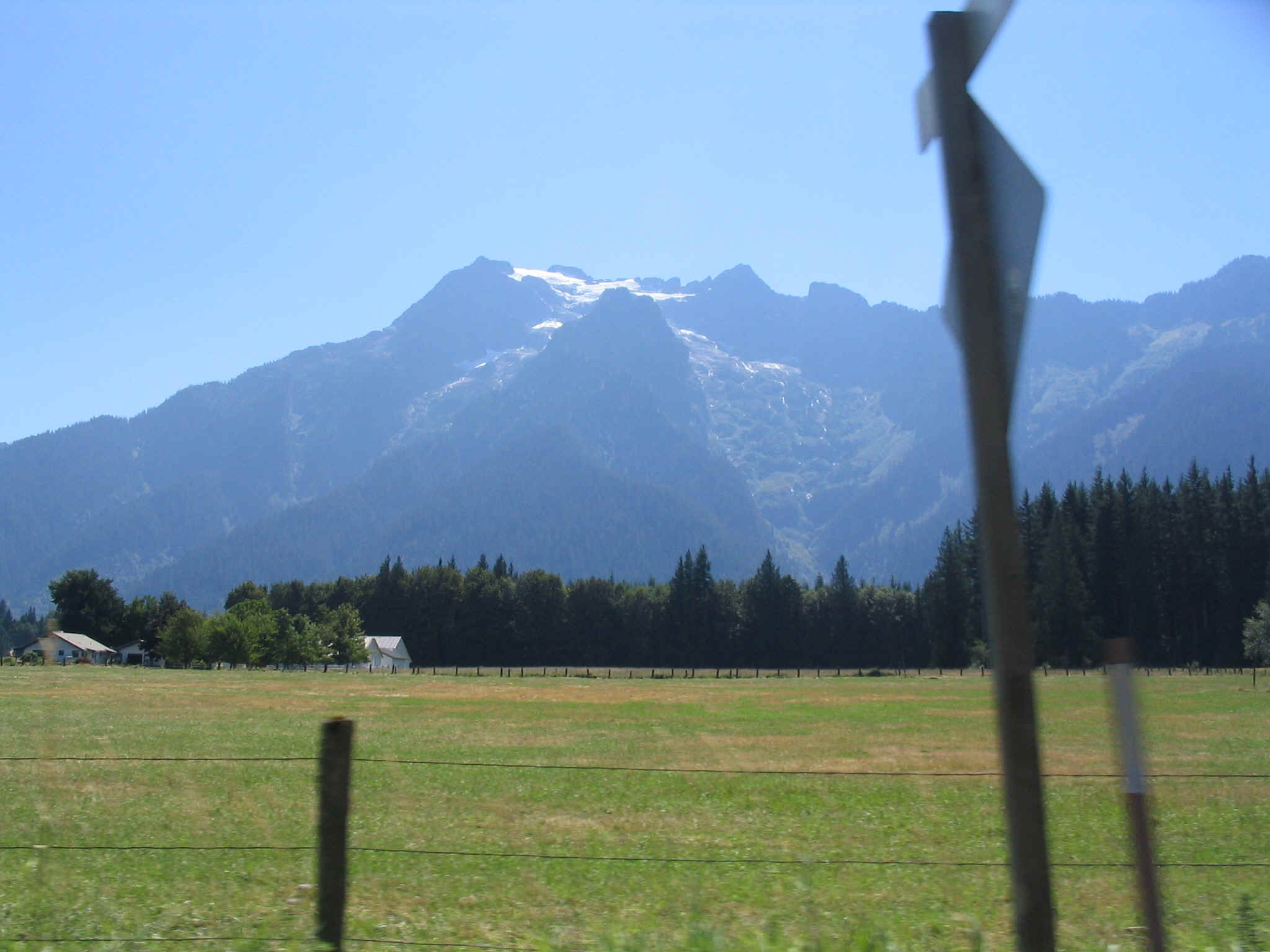
After several hours in the beautiful alpine scenery, I finally I reached what I thought was the top of the climb. A sign indicated the crossing of the Pacific Crest Trail. I took a long, needed break. I forced myself to tarry longer than I would normally. I didn’t want to blow all my energy on the first day. Finally I climbed back on the bike and rocketed down the very steep hill. It lasted only a mile or so then began a very, very steep climb. It had been a false summit and I was not mentally prepared for more climbing.
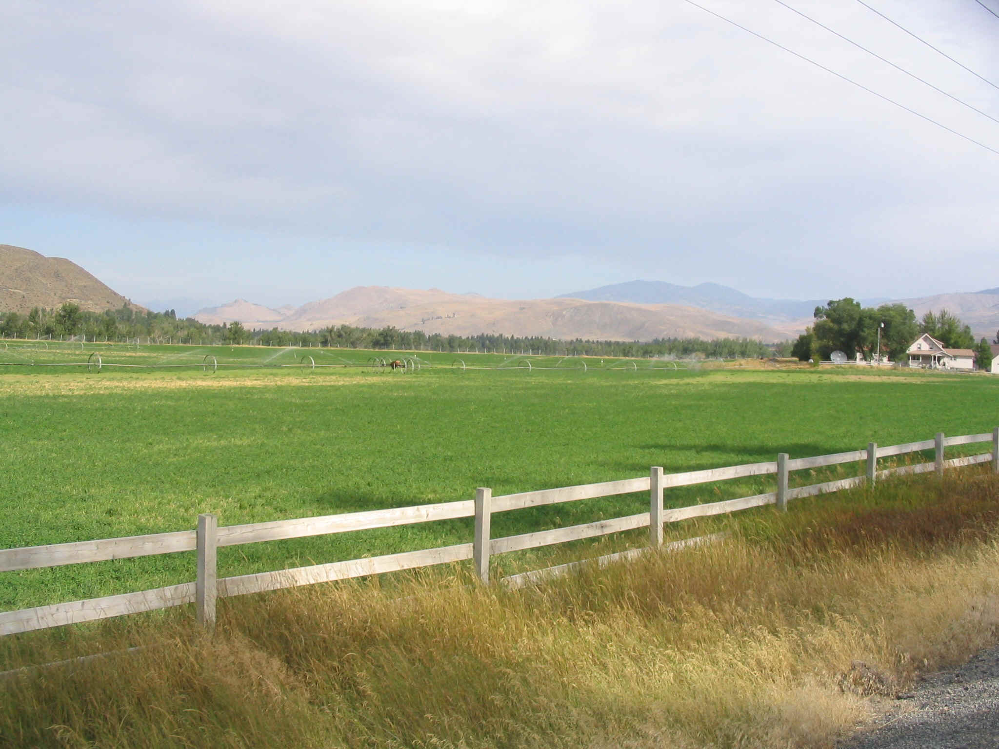
Finally I reached the summit. It was over 5000 feet. I had errantly thought the pass was around 4000 feet. But now I was able to descend. Still, I couldn’t simply let it rip with abandon. There was a thumping sound coming from my rear wheel and it made me nervous. At slower speeds it was unnoticeable. Finally the mega-steep part of the eastern Cascades yielded to a gentle downhill that sweep through vast fields of irrigated ranch land. I rode at twenty miles per hours for long stretches of time. I stopped at a resort nearly twenty miles from the mountain crest and took another needed break. As I looked at the map, it appeared I could make it to Winthrop, another twenty miles down the road.
When I finally pedaled into town late in the afternoon, I was greeted by the sight of a quaint, made over old western town. To my delight there was a cute brew pub in the old schoolhouse building. I happily parked the bike outside and plunked down on a bar stool and finally relaxed after a seventy mile day that started with the punishing, 25 mile climb. As the electrolytes began to do their job, I asked about camping in the area. Turns out that there was a State Park only a couple miles out of town. Refreshed, but tired I headed towards Lake Pearrygin State Park.
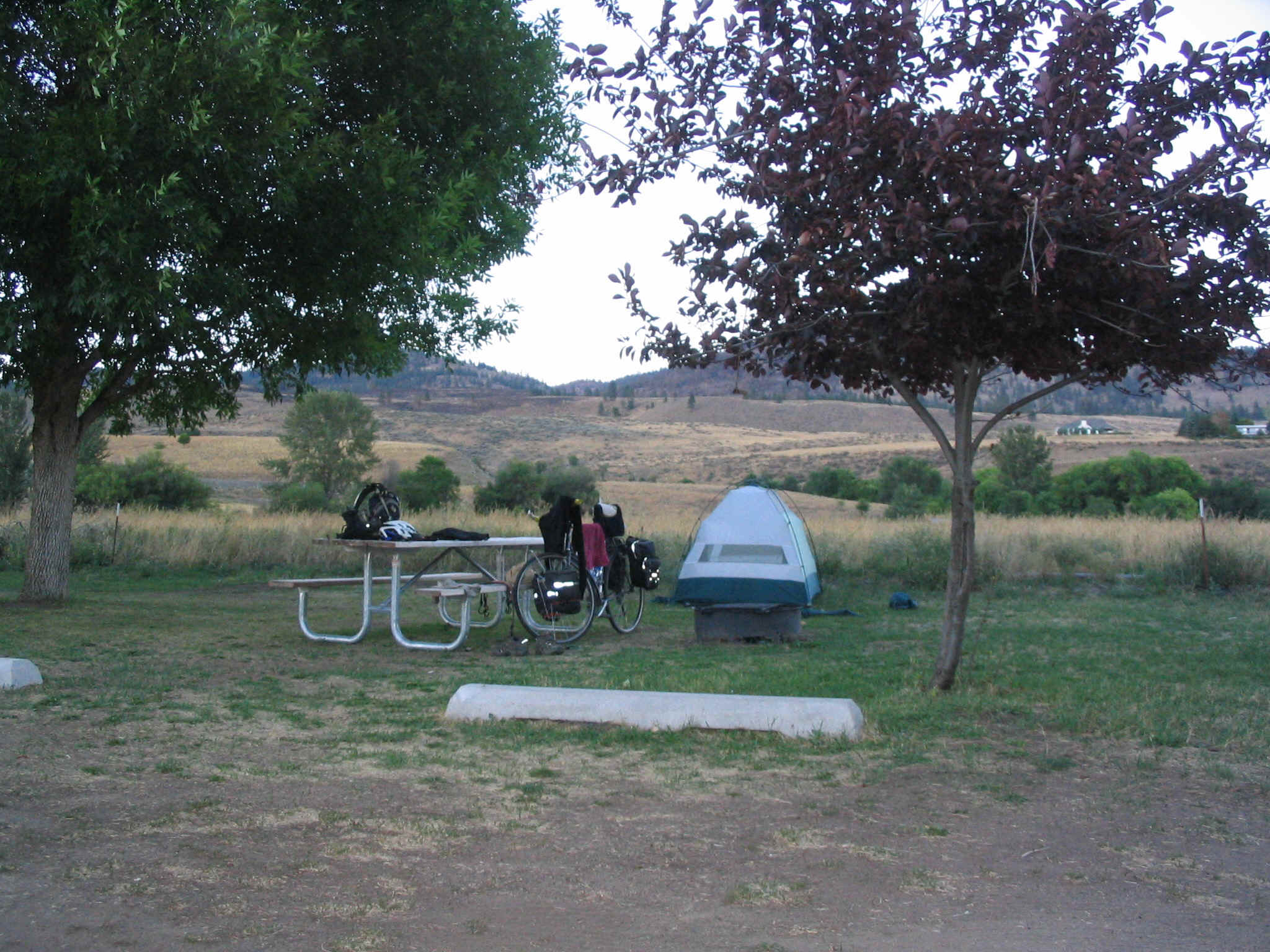
The climb to the park was very mild. I rode into the campground to find a pleasant, family atmosphere with a mix of tents and RV’s. The campsites were within one hundred yards of the lake. The afternoon sun was getting low in the sky as I set about organizing my campsite. The tent came out, the sleeping bag was fluffed and my evening meal of potato salad and Cole slaw was laid out on the picnic table.
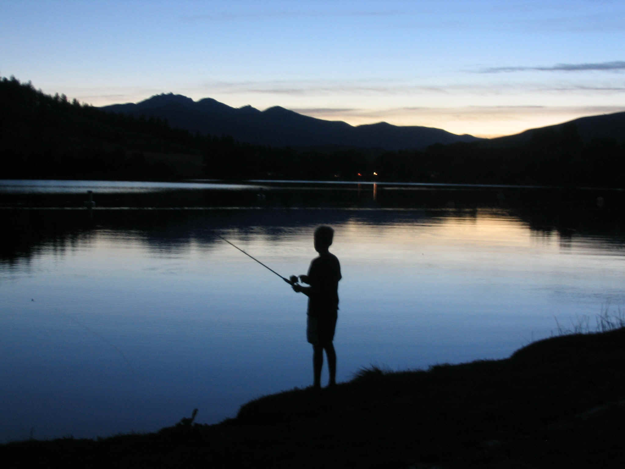
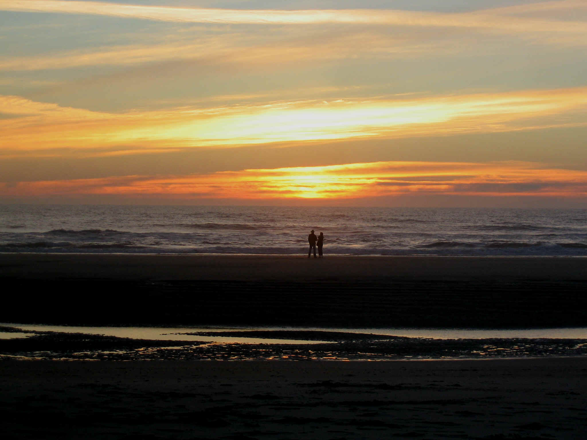
After eating a very hard earned meal, I walked to the lake to watch the last rays of the sun disappear over the tall Cascade Mountains to the west. The sky was ornate with soft, pastel colors. The hues were soothing to the vision and spirit. I had the sense of great wealth and good fortune. A young boy fishing made for a delightful photo. My long awaited trip was off to a great start.
After a good night’s sleep, I awoke to bright sun and cool air. I took my time gathering the campsite, ate my muffin and drank my Double Shot of coffee. Eventually I forced myself onto the bike and with sore legs began to ride out of the campground. I rode through Winthrop and headed southeast along highway 20 through Twisp. The road follows the Methaw river. The sparse vegetation is typical of the backside of the mountains. The sky had a layer of high Cirrus clouds. The clouds would keep the day cool, in an area that can often be very hot.
The ride along the river was easy and pleasant. The traffic was light and the road was nearly level. Only slight climbs and descents existed. Highway 20 eventually heads east and highway 153 continues to follow the Methaw river. The route enters the apple growing region. Orchards begin to grow in size. Near the town of Pateros I stopped at a fruit stand and had one of the sweetest, juiciest peaches ever.
The next part of this day put me along the Columbia River. The road was nearly level along this great, vast waterway. The terrain is mostly dry and brown with the exception of the orchards. Occasional strong wind gusts wanted to blow me backwards at time, otherwise it was relatively easy pedaling towards Lake Chelan. At one place I stopped at an orchard and ate a pear that had fallen from the tree. It was sweet and delicious beyond belief.
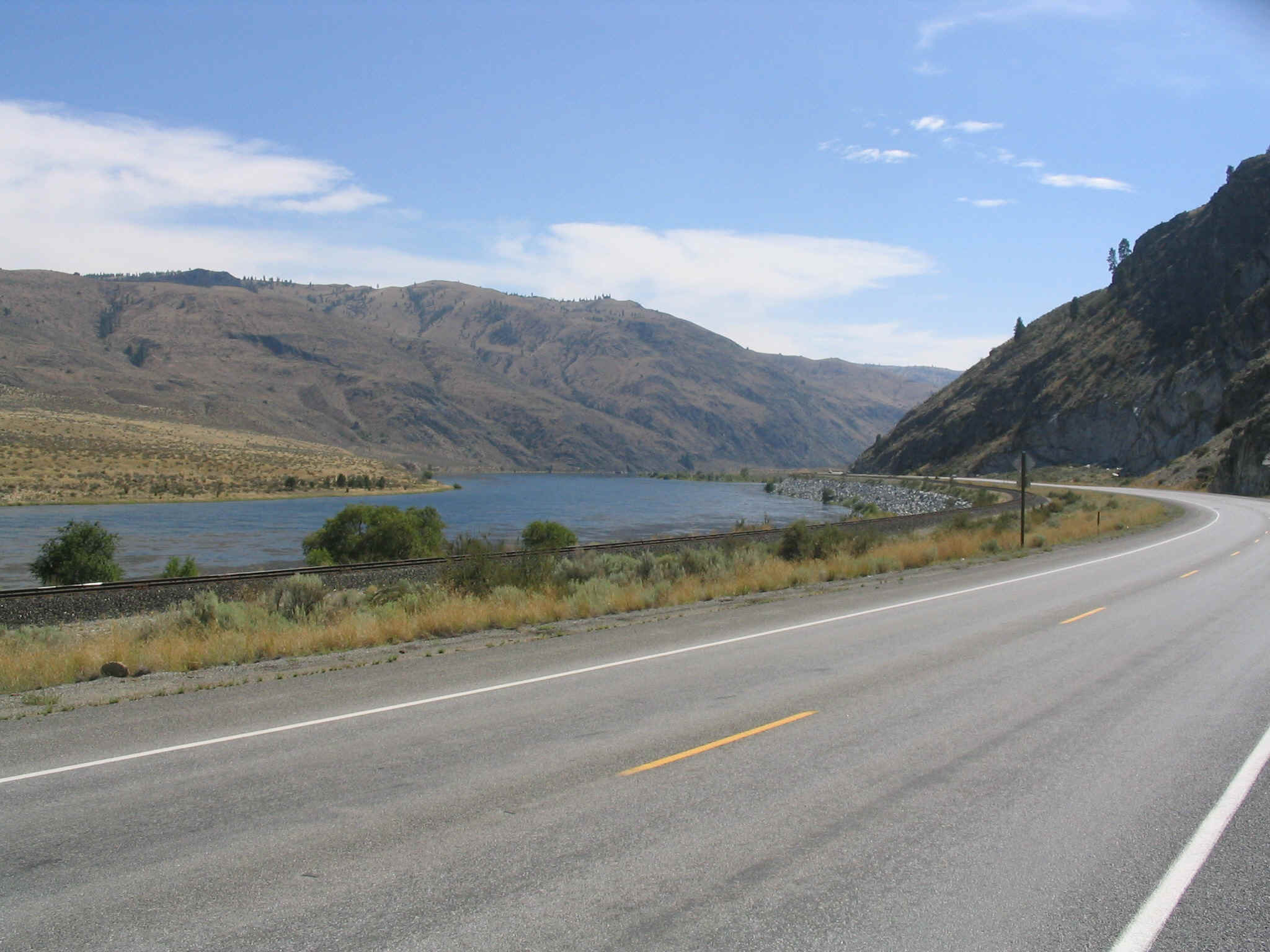
Eventually I arrived in Lake Chelan, a large resort area at the southeast end of the fifty mile long lake. This natural lake is huge. It is over fifteen hundred feet deep, making the bottom deeper than sea level. I checked with the City Park and was able to get a camping spot. I would have a deluxe site by myself, in this otherwise crowded park. I visited Safeway and got my evening provisions. Then I found a bike shop and finally took a look at my rear tire. It had a large split along the rim. The tire was deformed and sure to fail. The bike shop had a decent replacement and I was relieved to not have that worry any longer.
The next day I woke and hit the road. The route travels along the lake for a while then heads south to rejoin the Columbia river. The next waypoint was the town of Wenatchee. At this point I took highway 2 west. This busy route runs concurrent with highway 97 for several miles. Massive truck and car traffic populated this four lane road. I had to pedal uphill into headwinds for 15 miles before highway 97 finally split off towards I-90. At this point the traffic eased, the road narrowed and the scenery became much better. I pedaled to the Bavarian looking town of Leavenworth. I asked about camping, picked up dinner supplies and headed up Rt. 2 with not satisfactory idea about places to camp that night.
For several miles I looked intently at the roadside for a place to put my sleeping bag. I needed only a flat enough and out of sight enough place to spent the night. Now well out of town and into the wild Tumwater canyon, I spotted a person standing next to the road. He seemed to be in the middle of nowhere. I was concerned. However as I approached, I noticed a parking lot just off the pavement. In talking with the man, he informed me that there was an old rail bridge with a hiking trail on the other side of the Wenatchee river. This fit the bill. I found the ideal spot to park my trip for the day. Within minutes I had my home for the night.
As darkness fell, so also did my joy factor. Being in the boonies by myself gave rise to a period of concern about the bears and cougars that call this place home. After some fretting, I decided that my fate was whatever the universe offered and went to sleep in the pitch blackness of the wilderness area. Late in the night I awoke to an amazing scene. It was startlingly bright outside from the half moon that had risen long after I joined with the sandman. This gave me comfort and I drifted back into slumber land for the remainder of the night, awaking refreshed and enthused about my journey.
The next morning as I rode up the Tumwater canyon, I was surprised to find a State Park just a few miles up the road. My maps did not indicated the presence of this feature. In a few more miles I came to Coles Corner. This small community serves a local recreational area and is home to a few dozen people. It hosts two restaurants, one of which I chose to fuel up for the long arduous climb over Stevens Pass.
The three egg omelet powered my ride up the eastern slope of Steven’s Pass. The ride climbed slowly into the thick forest of the Northern Cascade mountains. The vistas stretched for countless miles across the bright horizon. Near the top of the pass, I visited an interpretive display, describing the early rail building that occurred on the pass. It was fascinating to stand in the woods looking at the same features that the workers looked at nearly 100 years ago. Some must have marveled at the beauty, and also suffered under the harsh conditions that occur in the other seasons.
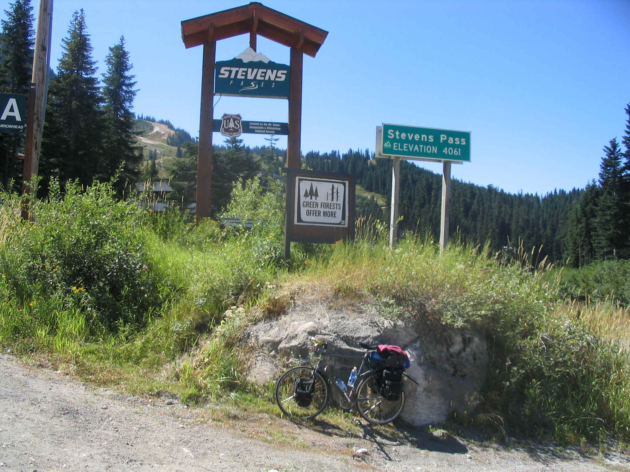
At the top of the pass I stopped to find a soda in the ski lodge. In the process I met a young man from my home town in PA and another young man who worked for my son Austin at Sugar Bowl in the Sierra. A small world occurrence. Then I jetted down the very steep, western side of the pass. Near the town of Skykomish I found my camp for the night. It was a nice State Park removed from the highway and railway
.
On Thursday I began the trek back towards Arlington. The ride down and out of the mountains was spectacular. The riding was easy and the traffic was mild until nearing the area of Monroe. There the traffic picked up, the county fair was just beginning and commerce was in full swing. To make matters less fun, I flatted along the busy, narrow road. After a relaxed stop, I had to tolerate the noise and distraction until the town of Snohomish, where I was able to contact, with the help of a fellow biker, the hike and bike trail to Arlington.
The ride to Arlington, the end of this phase of the journey, was delightful and relaxed. The rail-to-trail ride serves the cross country, bicycle tourist very well. No longer do 80,000 pound vehicles hurtle past, only a few scant inches away. Now one gets to relax and look about. Cool, old school farms and dwellings frequently populated the view. These quaint places spoke of a different time, one just slightly past, one that I was steeped in as a child.
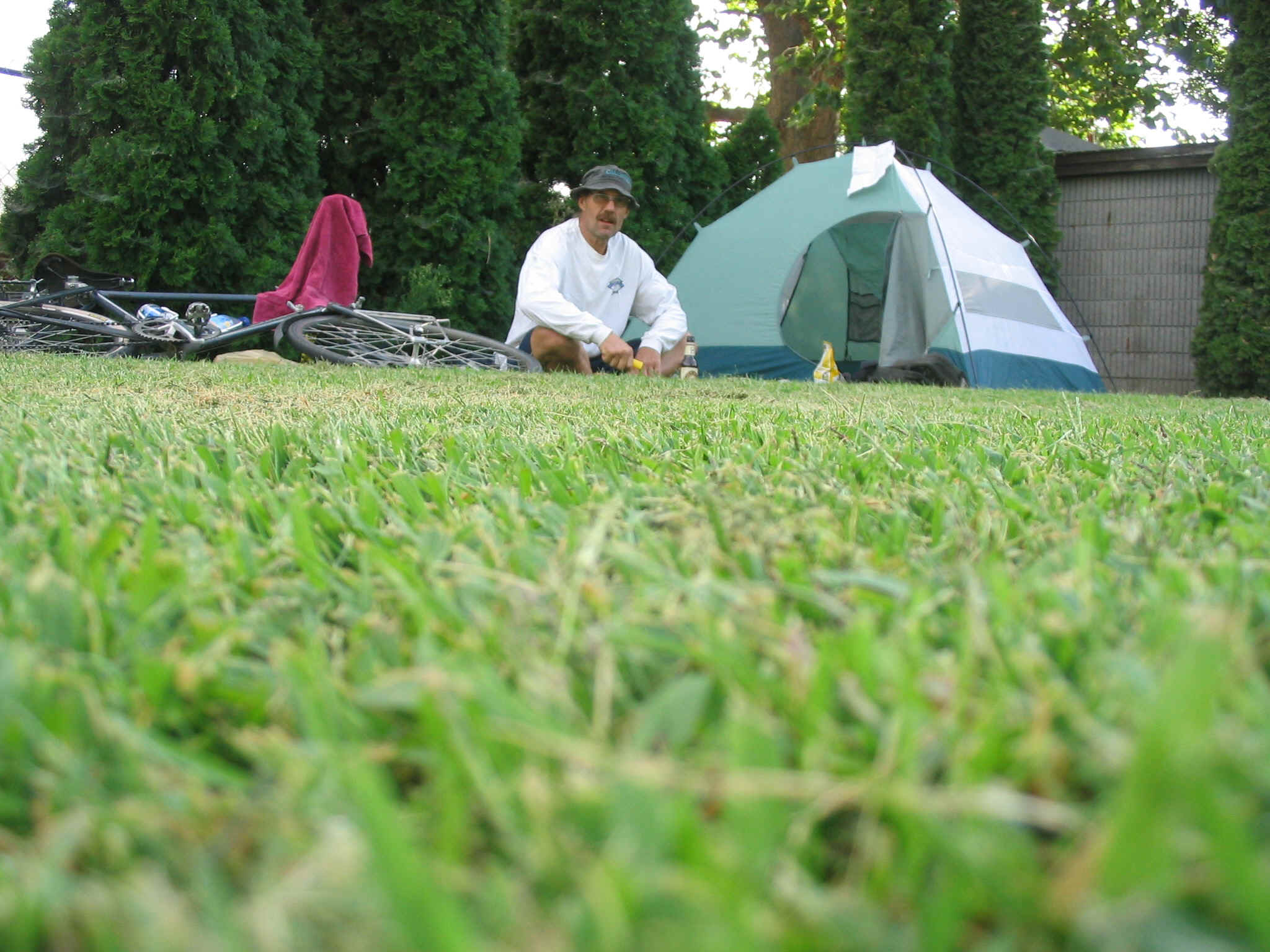
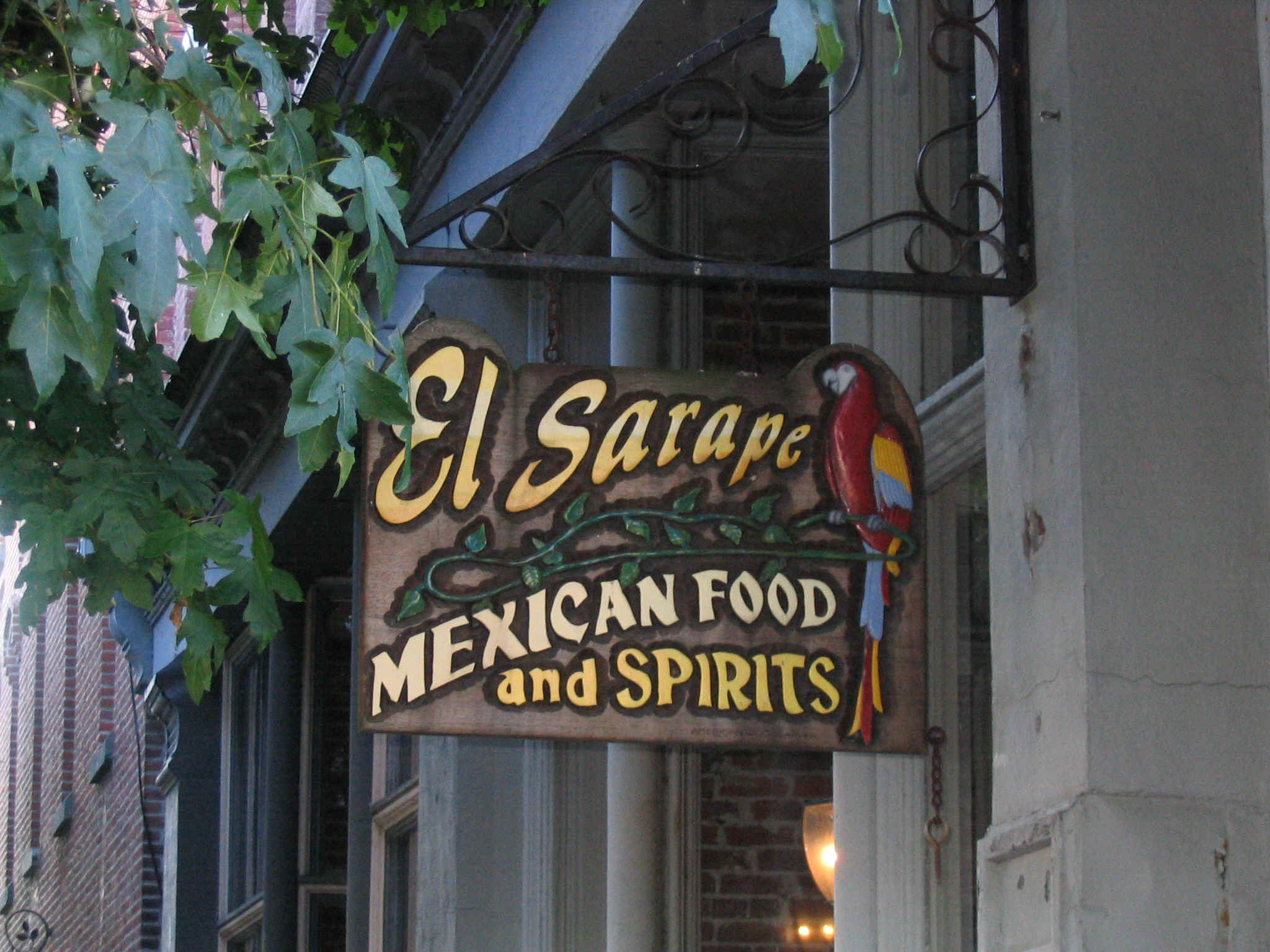
I managed to while away one day as Mark worked. On Saturday we packed the Taurus and headed off towards Whidbey Island. The drive was great fun. As a passenger with no responsibility but to look out the window, I was able to absorb the entire landscape from Arlington to the Klickitat Ferry. In Port Townsend we found a delightful beer garden and spent time which for me, was a groovy from of carbohydrate loading. The electrolyte enhancement therapy worked well. We found our way to the El Serape restaurant and hogged huge.
We headed outa town towards the State Park. It was kinda full and our best bet turned out to be a hike-in site. The trek was rather minor and the site was nice. We spent the evening with the requisite campfire and I went and hear Ranger Rick talk about edible plants.
It was foggy in the morning when we awoke. We assembled our campsites and loaded the stuff into the Taurus. We motored into town for some real coffee, then headed towards Highway 101. At the intersection, I unpacked the bike from the wagon, assembled the panniers and prepared to leave. As nature would have it, for reasons that were not to be denied, perhaps related to El Serape, I hadda take a quick trip out of sight.. Nerves, maybe. I was about to head off into some funky looking’ weather out onto America’s rainforest, the Olympic Peninsula.
We said “Farewell” once again and each headed our own direction. Mark would drive into improving skies, and eventually a nice sunny day. I would continue in drizzle for several hours. Once through Sequim, I kept thinking it was only five miles to P.A. (Port Angeles) Even though the map and everyone I talked to said it was more like 25, I still wanted to believe it was less. In part the sky was growing darker and more ominous. All of my stuff was already damp from the night before.
The good news was that I had managed to find, with the help of several locals, a cool hike/bike trail that goes from the old Rail Bridge in Sequim all the way to P.A. Life was good for a while. It would take two hours to get to P.A. the first hour was OK, but shortly into the second, it started to rain. That in itself isn’t so bad. I was plenty warm, had good rain gear and could go for long periods of time in the rain. But it was never fun. It was more survival and tolerate the not-so-great conditions.
Finally I arrived in P.A. When I stopped at the Ferry Terminal, my body began to shut down from the riding and I became chilled. I found my way to the bar and ordered a cup of coffee while I pondered my fate. The rain poured down outside.
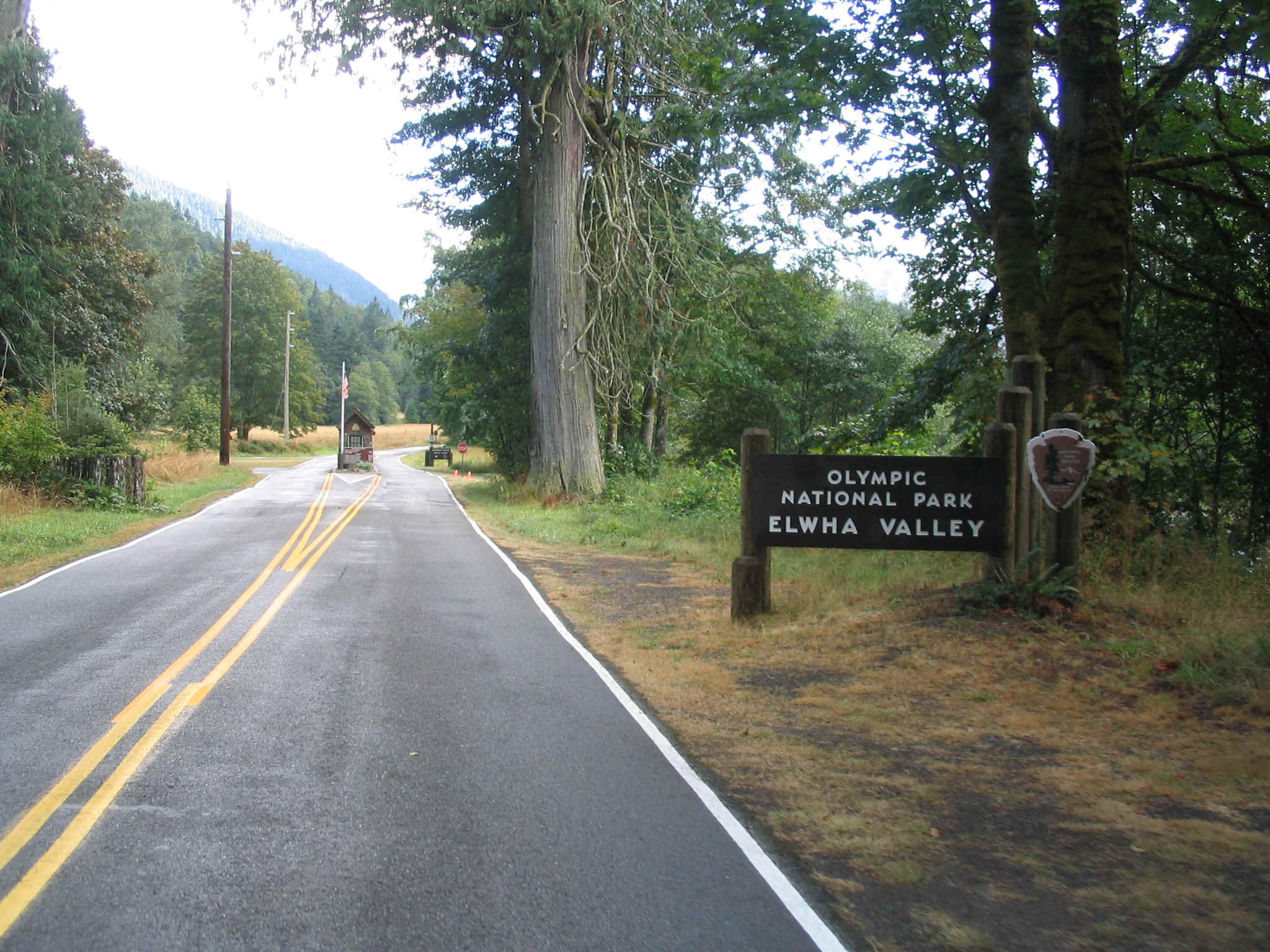
The body wasn’t particularly responding, so I eventually decided it would be perfectly OK to get a motel room. Good idea, bad execution. It turns out that it was still in tourist season and rooms were going for $150. Dang! I decided to head out. The rain had ceased for the moment and rumor had it that there was a campground a few miles out of town. I pedaled for about ten miles and came upon a sign to Elwha campground. It would be a few more miles up the road. Once there, life became good again. The rain had stopped for the time being, even though water constantly dripped from the trees of this very, very wet peninsula.
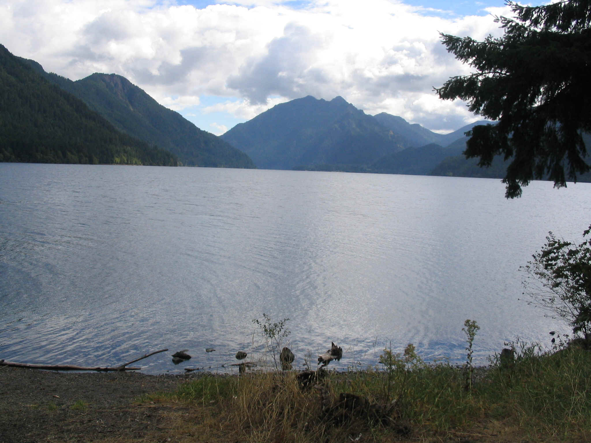
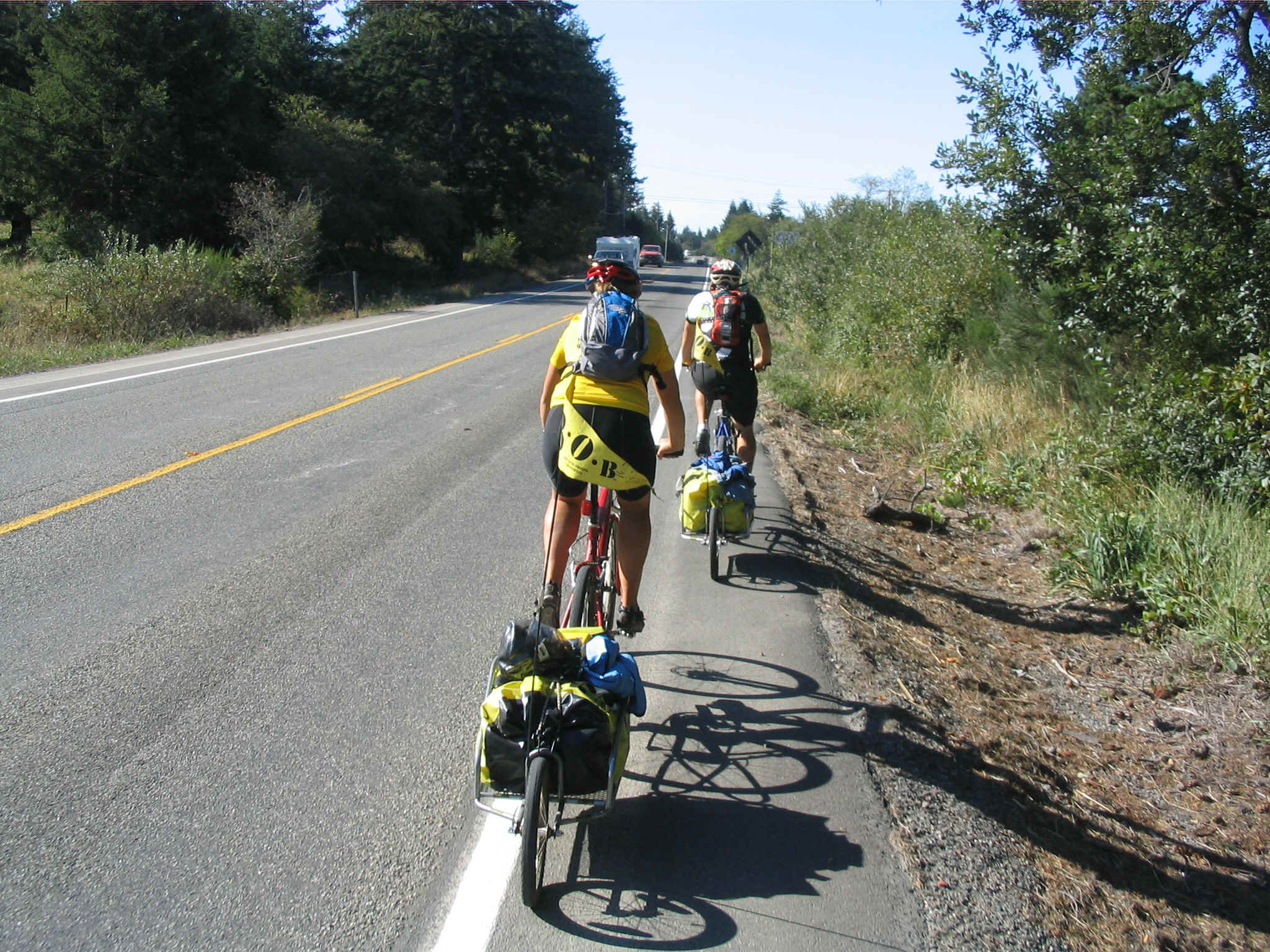
In the morning I met another biker, Pat. He and I joined up for the next four days. We were traveling at a similar rate and were both headed to Astoria OR. Our first stop was Grannies. The small, country restaurant served some great food. Properly fueled we headed out for some miles. The next major landmark would be Lake Crescent. Many locals gave high reviews for this natural geographic feature. It was true. The lake was beautiful. We pedaled for nearly ten miles along the emerald blue/green water. The mountains rose from the lakeside to majestic peaks, towering over the landscape.
The beauty of the lake was awesome, but the joy was short lived as we now began a long climb towards some of the darkest clouds I’ve ever seen. My fear was well founded. The rain began in earnest. It became heavy then it became torrential. Trucks passing would turn the entire world into a frothy mist that would linger for long periods of time.
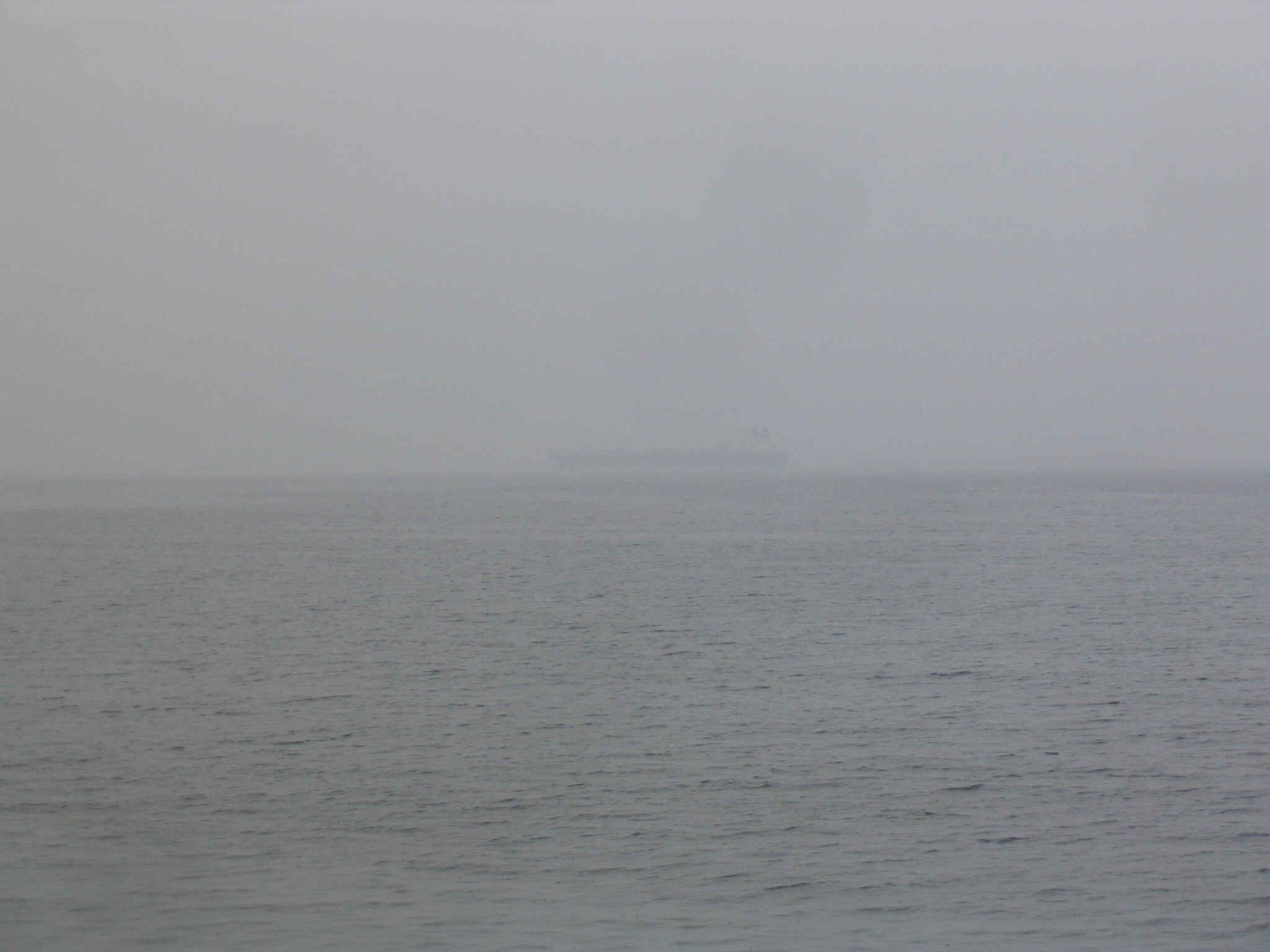
I had hoped that as we proceeded west we might duck under some of the rain that accumulates on the sides of the Olympic Peninsula. It sort of worked. After thirty miles or so, the rains relented to heavy mist. Once we made the corner and headed south, the day lightened notably. Eventually we were able to pedal nearly 90 miles to Kalaloch. There was a National Park campground that had all of the amenities, including a hand dryer in the bathroom that I used to dry my socks, sleeping bag and shirts.

We were out early and off to the only restaurant in Kalaloch. After another massive infusion of food, we headed east. The sky refused to clear and we faced wet looking weather. Drizzle continued for much of the day. Highway 101 was lightly traveled. There were an inordinate amount of lumber trucks carrying recently living forests to the mills. The truckers, despite their henchman duty were considerate and courteous. The always yielded a major portion of the road, unlike their California counterparts who seem to believe that bicycles were invented to be hood ornaments.
After a day of hard riding, we were faced with where to camp. We stopped in Aberdeen to ask. Lake Sylvia State Park filled the bill, some ten miles away. After Pat had a collision with a car at the entrance to the Wally World parking lot, we were off on an easy, downwind sprint to the park. Lake Sylvia turned out to be a delightful, quiet place that hosted out stay for the night. We met other cyclists who were staying in the hiker/biker spot.

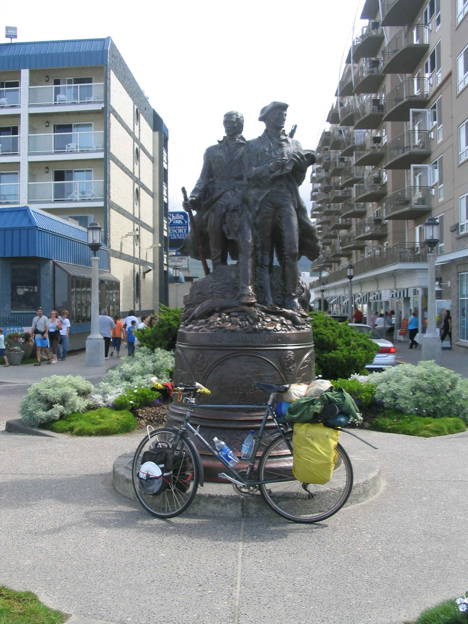
In the morning we noted the other cyclists on the road early. Pat and I rode to town and picked out the most appealing looking restaurant and had another power packed breakfast. We headed south towards Cape Disappointment at the mouth of the Columbia. Since we rode at slightly different speeds, eventually we separated. I cruised at a slightly slower speed and spent the day working south. Eventually I arrived in Ilwaco. I stopped at the local grocery store, bought the evening meal and rode the three miles out to the campground. Just as I made the final turn to the park, Pat rode into view. We had managed to arrive at the same time.
Cape D. was a very pleasant spot. Several other cyclists congregated there including the couple we had seen at Lake Sylvia. The weather had dried somewhat, but it was still damp with proximity to the ocean. Raccoons feasted on some of Pat’s food overnight. I never heard them.
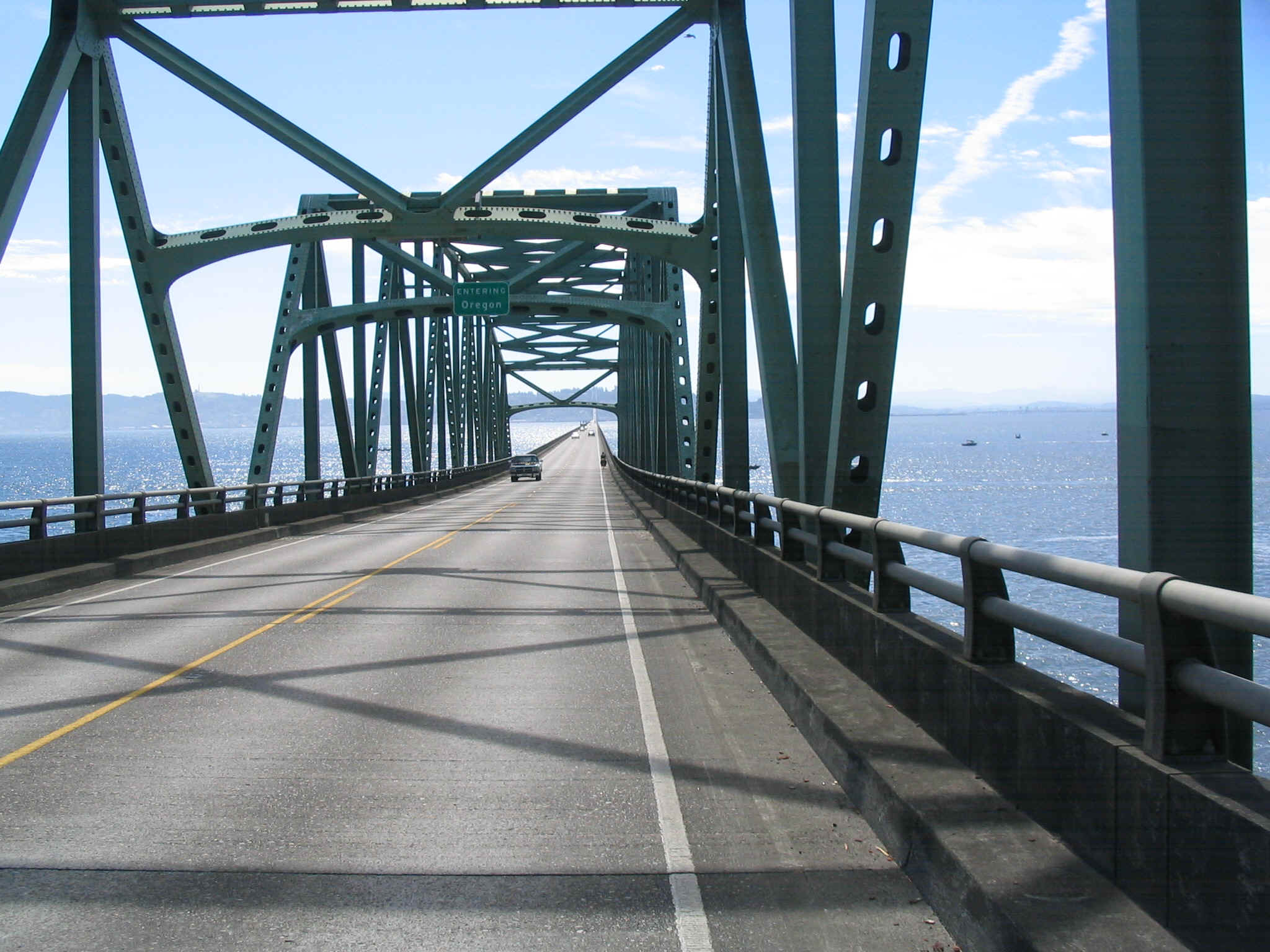
In the morning we folded up our camp and began the long, fabled ride across the Astoria bridge, nearly five miles long. Luck was on our side with light traffic and nearly no wind. The transit went quickly as we took in the expansive view afforded from the bridge and a bicycle. We stopped at Safeway for more supplies then bade each other farewell as I was headed to Annie’s Place and Pat would continue his trek back towards his home in Vancouver, B.C.
After a two and a half day stay in Brownsmead, I again set sail. Now my goal was to ride the 750 miles back to Middletown California. The day was wet and drizzly. As I approached Astoria, it began to rain. Again I hoped that getting to the coast and some distance south would get me out of the rain. It worked. By the time I passed through Seaside, the weather notably changed for the better. Now I could settle into simply riding the bike.
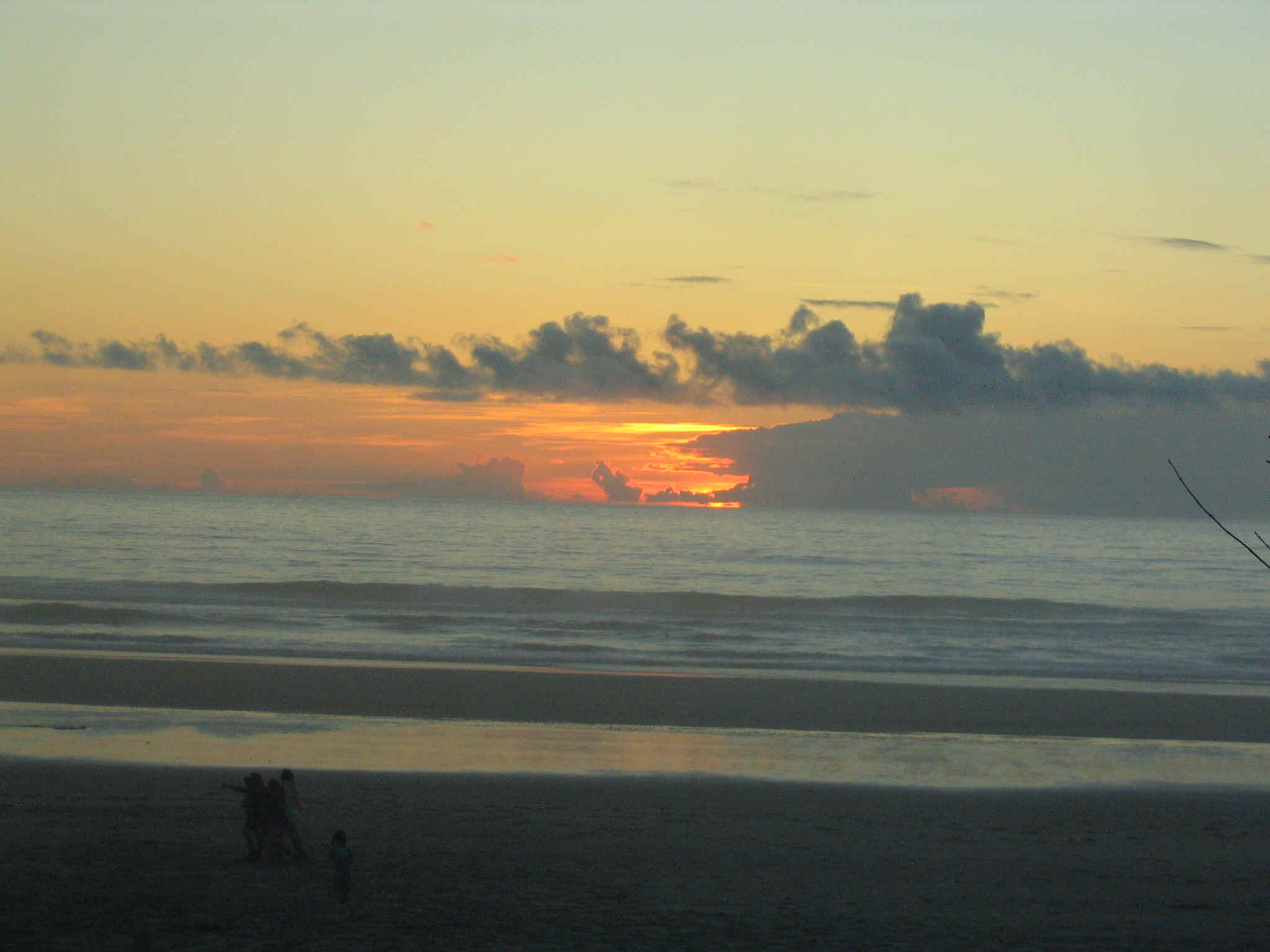
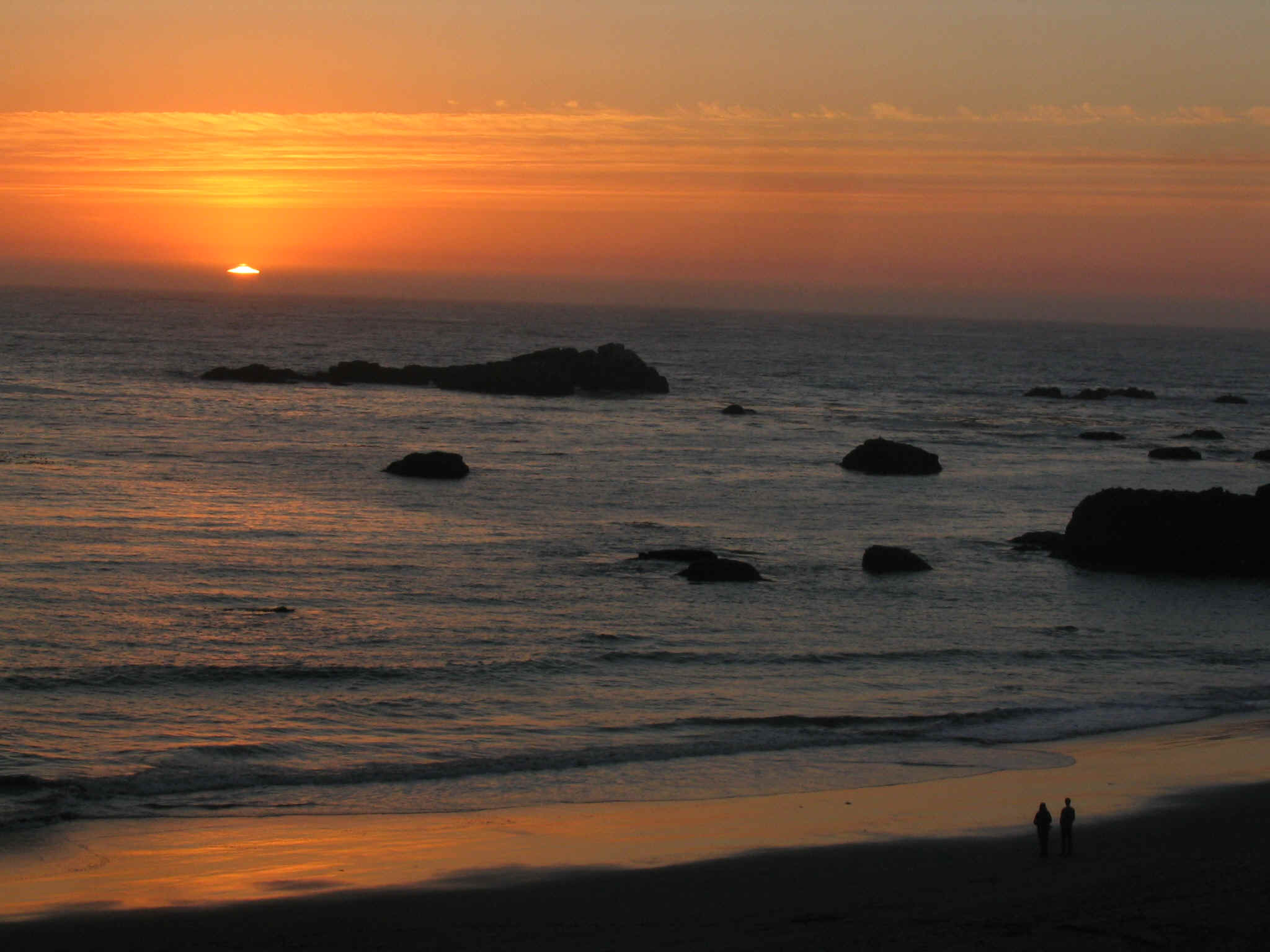
I rode steadily all day and managed to arrive in Tillamook at a reasonable hour. It had been one hundred miles. The last eight miles to the campground progressively became harder. Finally I pulled into one of the premier campgrounds on the coast. Cape Lookout is far from an highway or industry. It offers peace, beauty and on this evening, a stellar sunset performance. Other cyclists always populate this attractive park.
I was up early. I had it in my mind that I could make it back home by the end of the week if I stayed on track. I pedaled steadily down the coast on this Labor Day weekend. The traffic was heavy, but not overwhelming. The weather continued fair as I made it to Beachside S.P. It was another 100 miles. The hiker/biker camp was OK until dark, when the lights from the utility building flooded my tent. Too tired to worry much, I slept reasonably well.
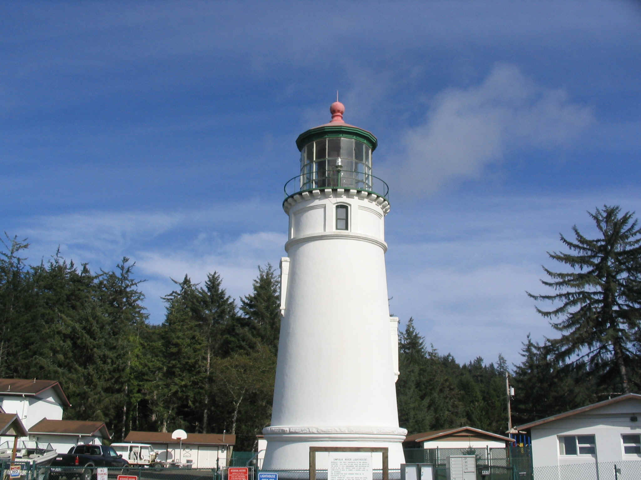
In the morning I headed down the road to find that I had missed a great opportunity to spend the night at the Heceta Head lighthouse campground. It was then over the hill that hosts Sea Lion Caves. This tourist trap was lightly populated as the holiday weekend was now over. I pedaled to Florence and had breakfast with relatives, Mike and Nellie. Well fueled I headed towards Coos Bay with the hope of making it to Bandon for the night.
I stopped at the store in Coos Bay. I had barely enough time to get to Bandon. I pondered the situation. As the minutes passed, I felt more and more tired and decided to pack it in at Sunset Bay State Park. Another mistake. It was further to the park than I remembered, and the hiker/biker spot was soaking wet. The night went poorly as I heard the pesky raccoons thrashing about in the brush nearby, likely trying to figure how to retrieve my food, hanging from the tree.
Up ultra early, I started riding thinking that I might be able to make it to Brookings, another 100 miles. The day was pleasant, the winds generous and conditions were good for another 100 mile day. Again when I reached Brookings, I had the sense I might be able to make it to Crescent City, another 24 miles. However, I was tired and decided that trying to do too many miles would jeopardize the next day’s effort. Besides Brookings campground had a laundry, showers and the evening provided another outstanding sunset.
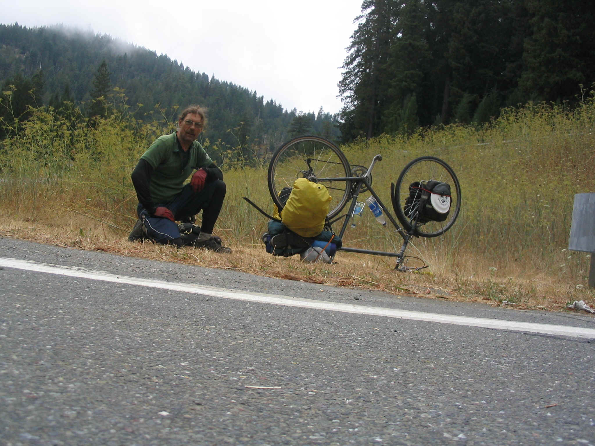
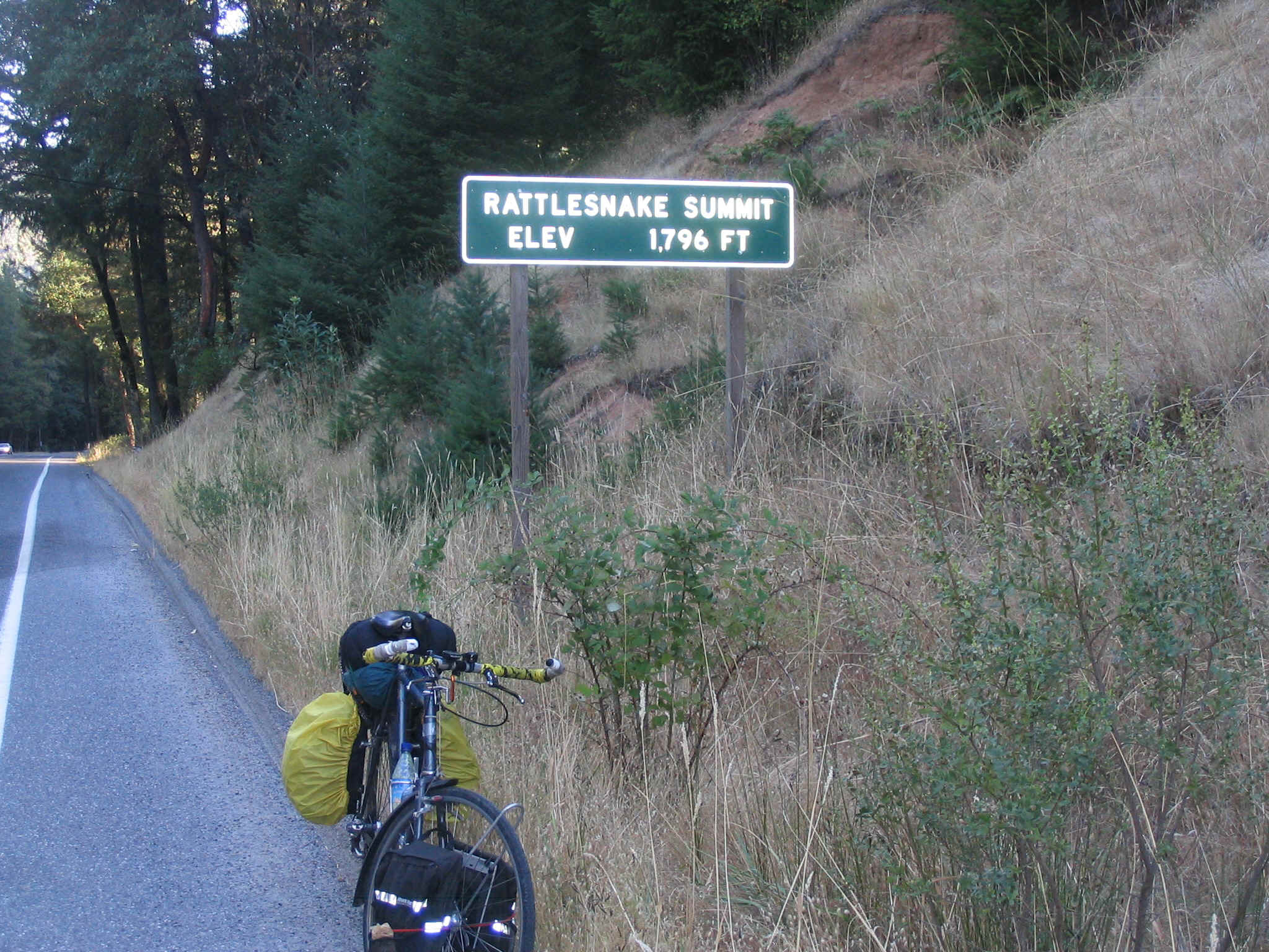
Dense fog greeted me in the morning. Today’s task would be to try to make it to Arcata or Eureka. I pedaled to Crescent City, flatted on the outskirts and had to fix the tire along the busy freeway. I stopped at a laundromat where it was warm and ate breakfast. The gray day did not bolster the spirits. To make matters harder, I had to climb a 1000 feet out of Crescent City into the Del Norte State and National Forest. The fog thickened and rain threatened.
The day was dreary all the way to Arcata. I called Auriah and Lucy. They were home and put me up for the night, including a well appreciated pizza dinner. After a good night of sleep on a dry, comfortable couch I again arose to a dark, funky, wet day. My legs didn’t want to work. They protested for hours. Again I had hoped that my journey into the inland area would get me to drier climes. The travel down highway 101 was routine and had little traffic. Eureka, Fortuna, Rio Dell and Scotia passed by. Just as I was entering the Avenue of the Giants, I again flatted. Each of my three flats on the trip were caused by staples. This time I didn’t even remove the tire, but simply exposed the hole in the tube and fixed it.
Once onto the Avenue, my attitude improved with the surrounding beauty. I was off the main drag. The Avenue travels for thirty miles or so. To my delight, the sky began to lighten, small patches of blue appeared. I traveled to Garberville and bought supplies for the evening. I was hoping to get to Laytonville where I planned to get a motel room. However, the miles were just too long. I made it to Standish Hickey State Park near Leggett. Again I had time to travel further, but felt I needed to save something for the next day. It turned out well. I got a good spot in the park for hiker/biker rates and spent a very nice, quality time at the river during the sunset.
On Saturday I was on the road especially early. I was riding by 7:30, a far cry from the usual 10 or 11:00 of previous weeks. I had a chance to ride all the way to Middletown, if all went well. If not, I was willing to accept a ride for the remainder of the distance if necessary. I was pleased to find sections of highway 254 (old 101) available to get me off the main road with its attendant busy commerce traffic.
I stopped in Calpella for lunch. Now I felt I had a shot at making it all the way back to Middletown. For the first time since Port Townsend, I left highway 101 for good. The day was completely clear and the temperature was warm. I arrived in Lakeport by mid-afternoon. Tired but buoyed by the sense that I just might make it, I started pedaling the last section of the 1450 miles. Strong tailwinds seemed to be blowing me back home. I had one hard climb made difficult only by the persistent flies that hovered in my face while I couldn’t swat them with both hands on the bars for climbing.
Finally the top of Bottle rock rolled under my wheels. Fatigued after 115 miles of riding, I had only to process the mostly downhill, last 9 miles. The romp down from Whispering Pines was joyful. I passed Jake as he was returning home. I stopped at the Mt. St. Helena brewing company and purchased my two bottles of reward. Finally I turned into my drive, having pedaled 750 miles in 7 days. It was, for me, a huge ride and a mileage achievement that I may never surpass.
Now I have to settle back into ‘normal’ life until I have a chance to slip the surly bonds once again and pedal off into a realm that offers joy and freedom seldom found in the work-a-day grind of this living.
End of The Journey
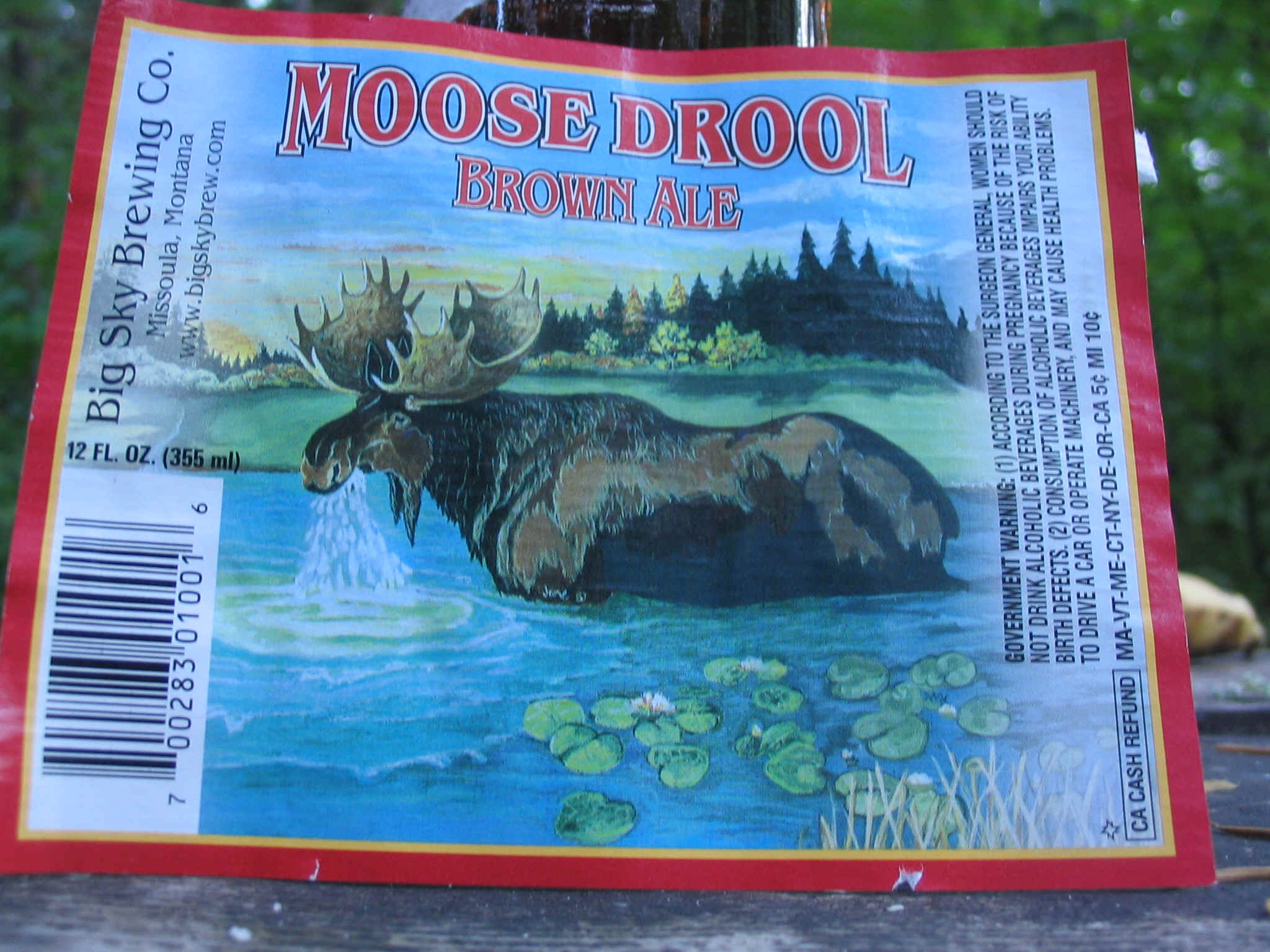
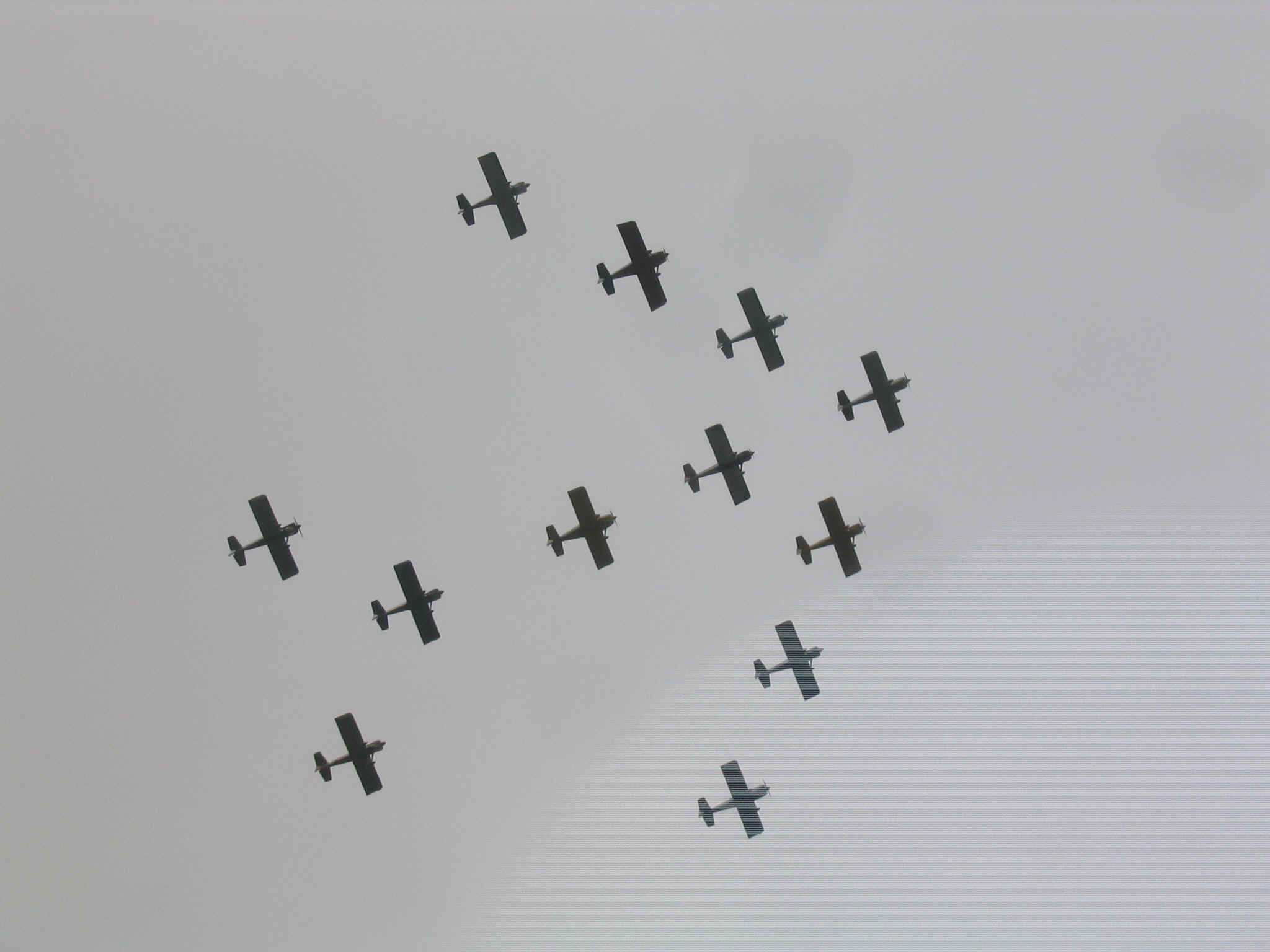
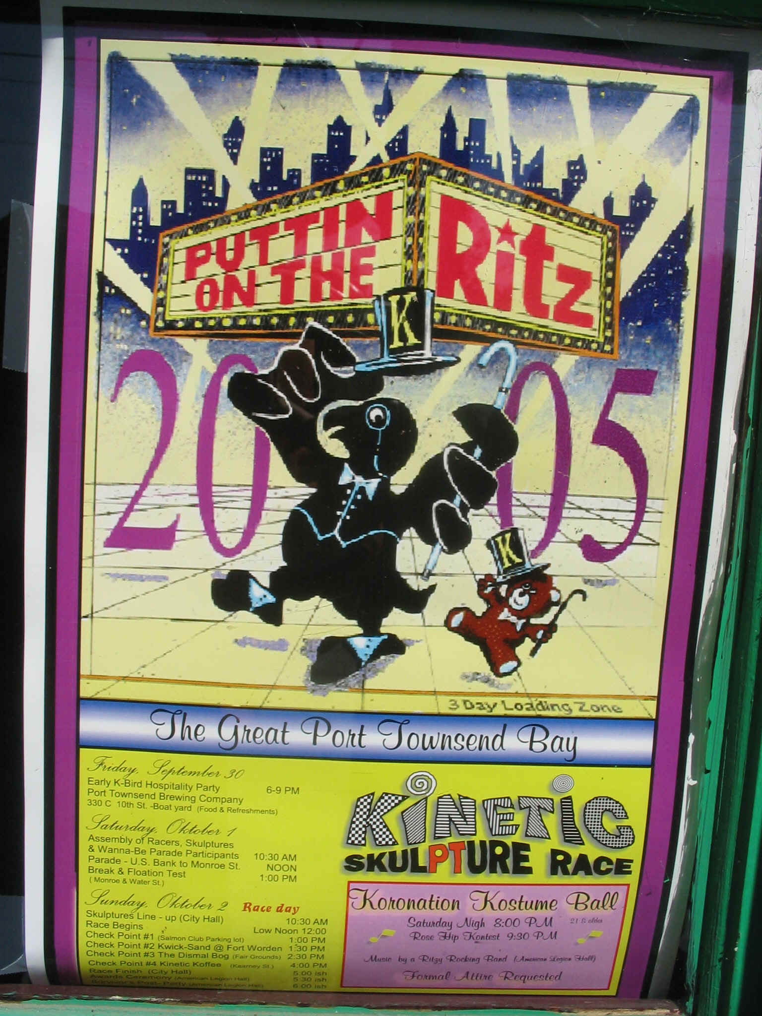
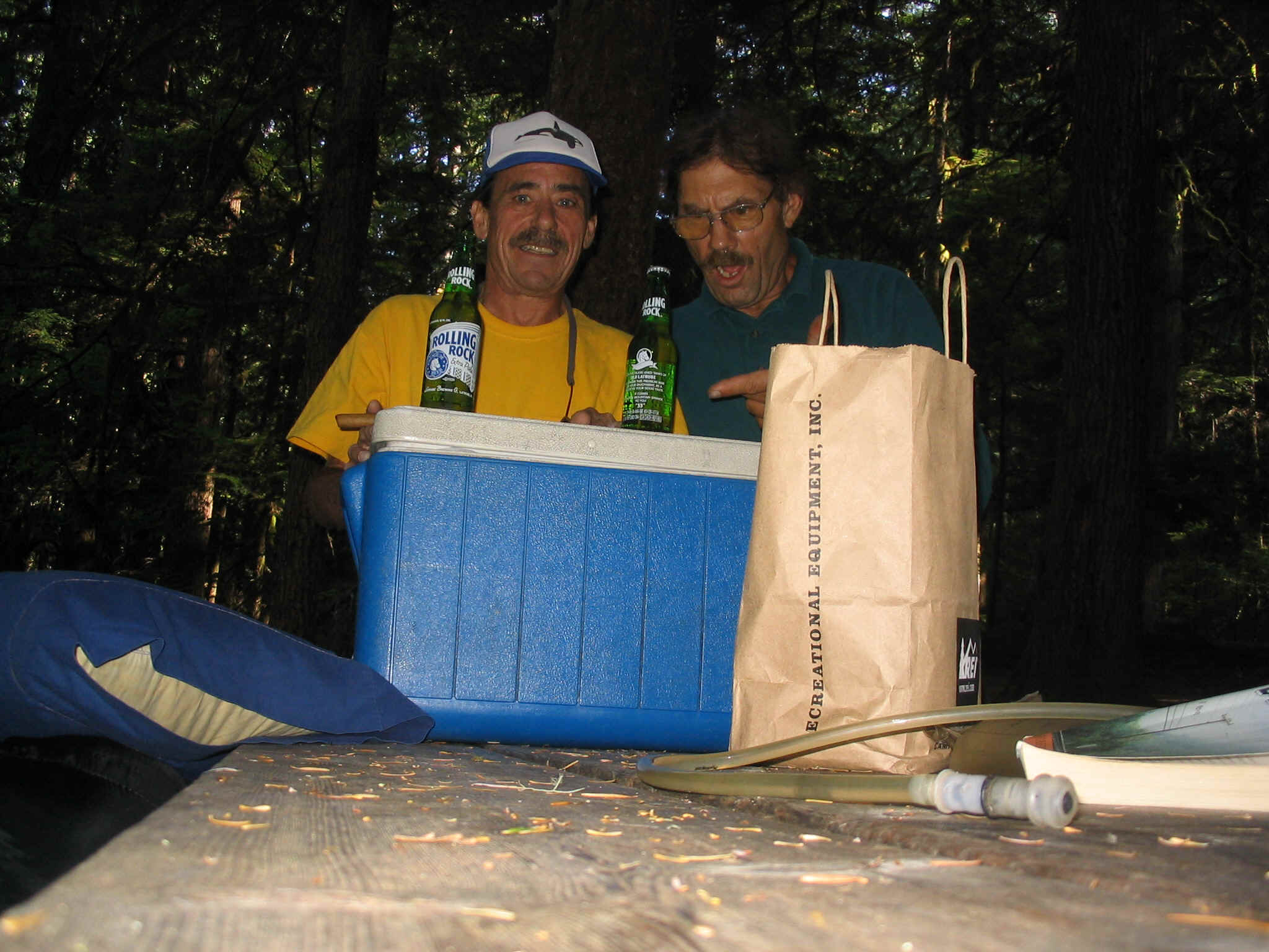
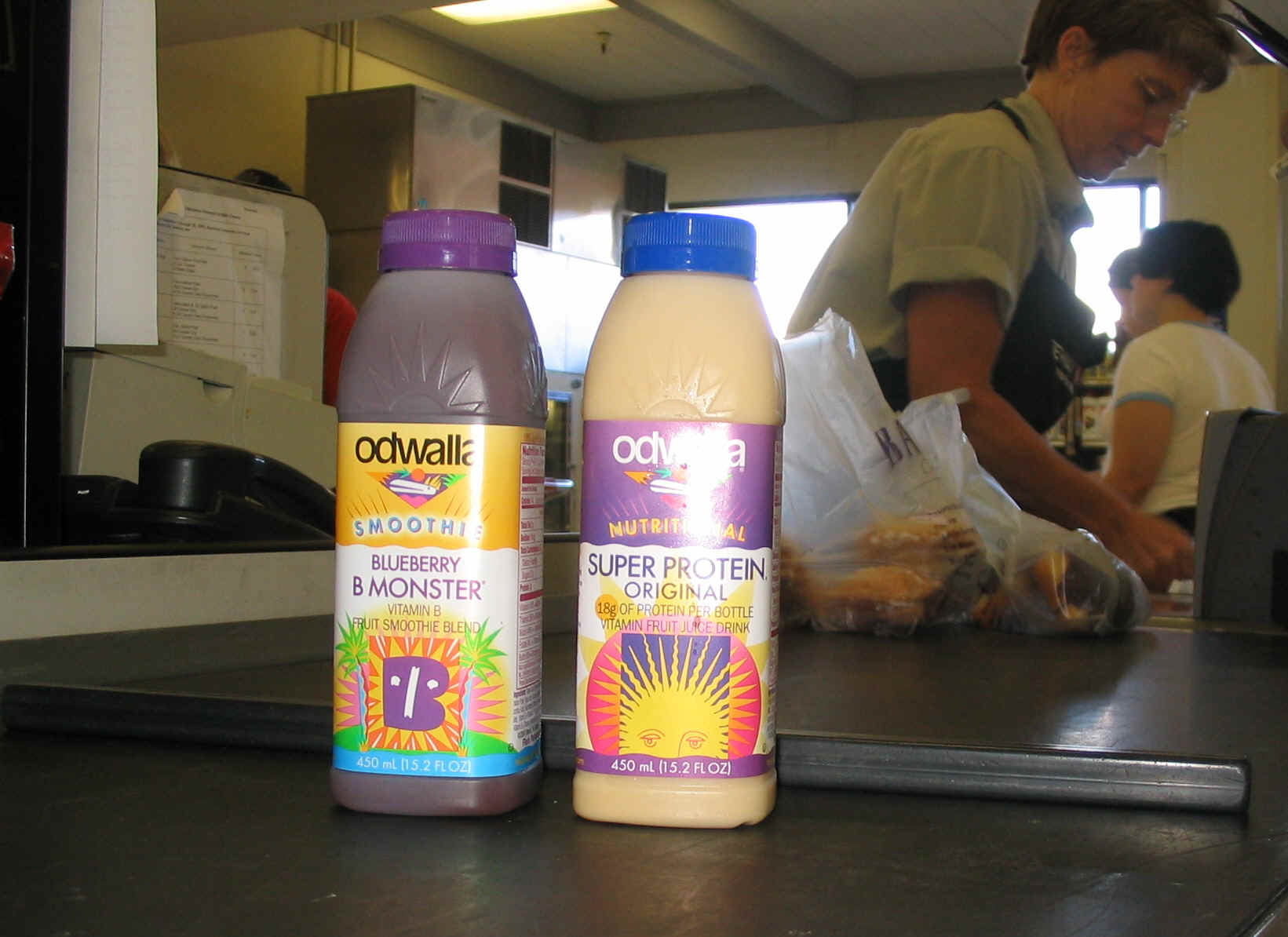
Cool label, good beer Arlington flyers wow the crowd Port Townsand Kinetic Sculpture race

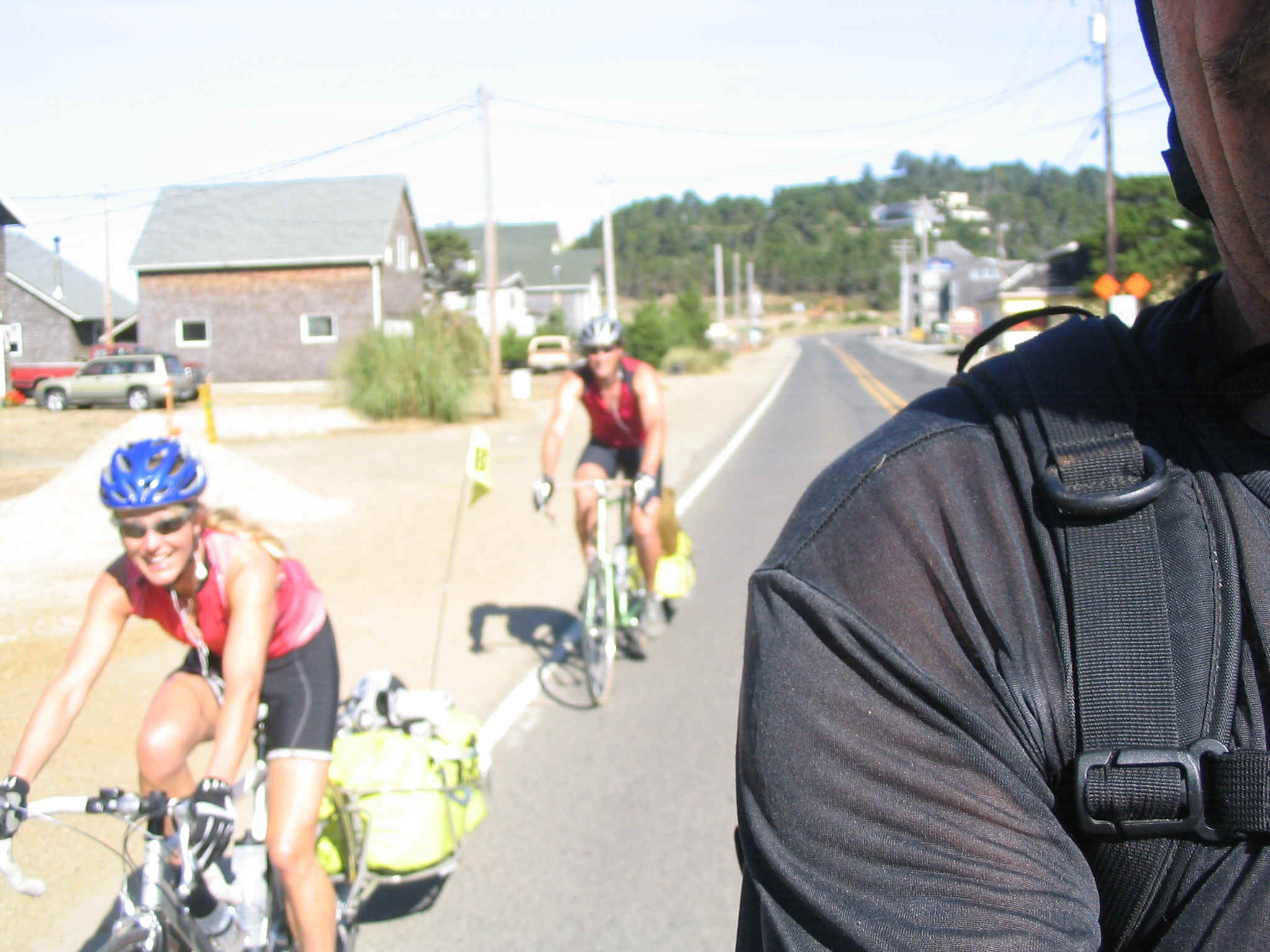
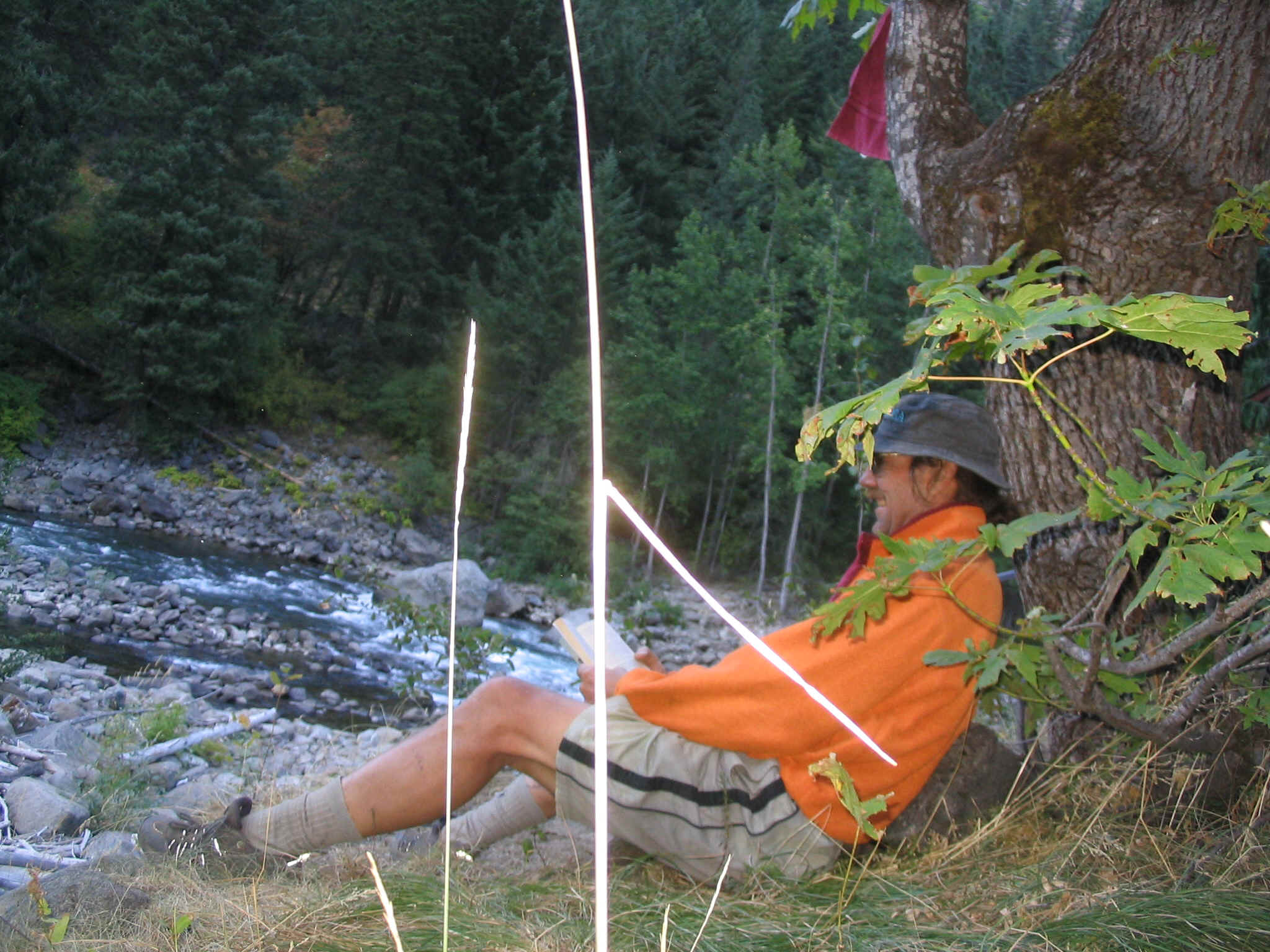
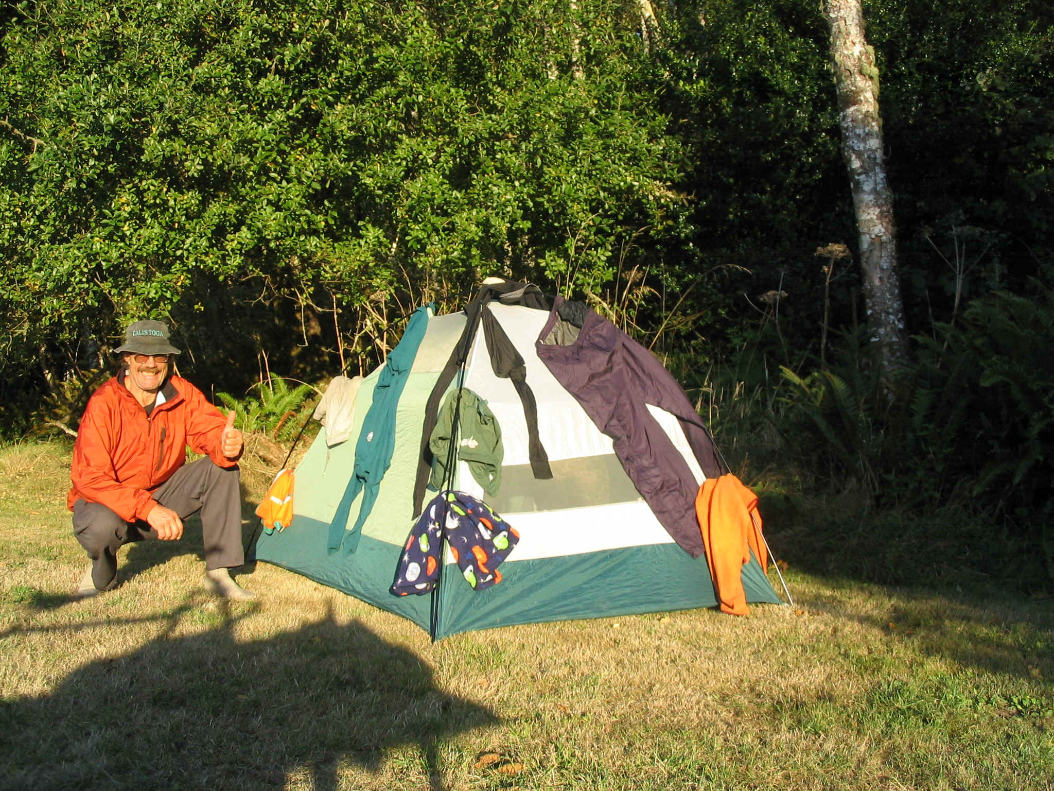
Pat pack in the carbos Lots of these in the N.W. John and Britt
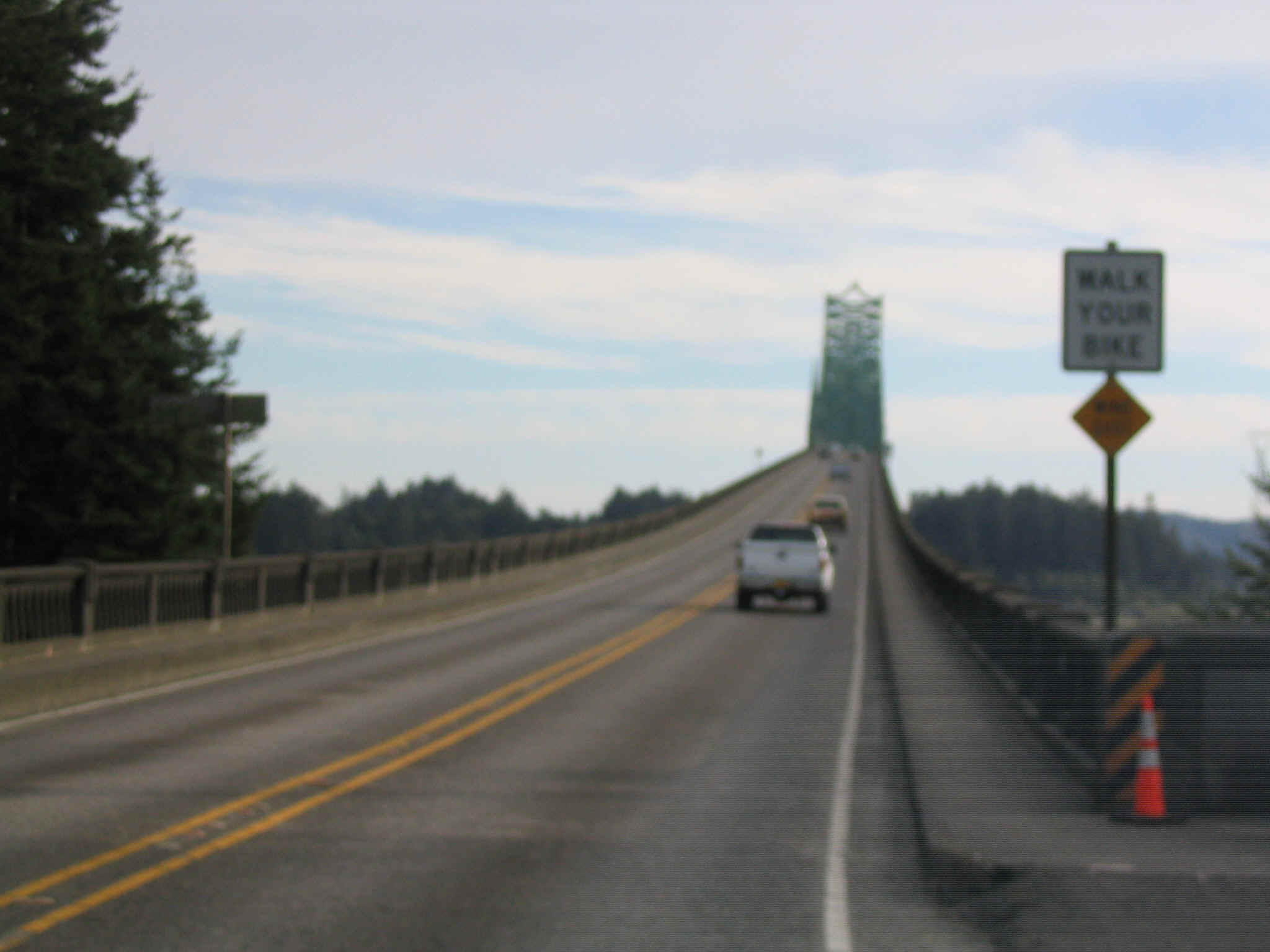
Couple from Vancouver WALK YOUR BIKE (sure!)