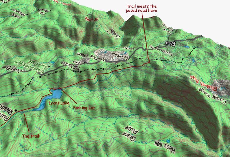
This image shows information on the start of the Twain Harte ride. I recommend parking at Strawberry school. Bike downhill approx. 1.3 miles and take the single track trail that begins on the left side of the road just before Camp Bray (Old Boy Scout Camp). It is marked with a narrow yellow vertical sign.
The image below shows some detail on the last third of the ride.


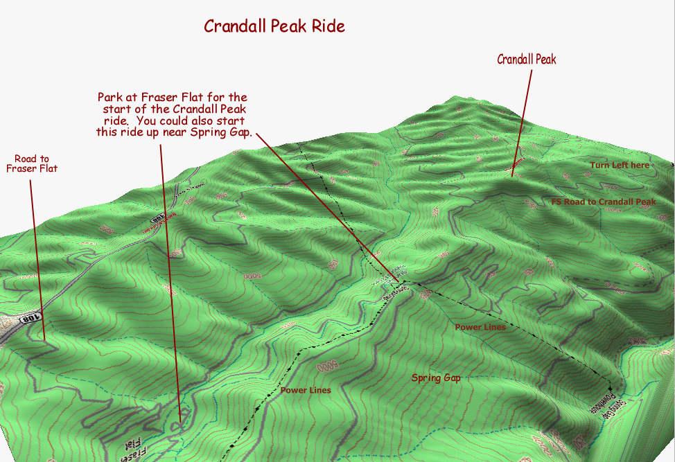
This image can be used in conjunction with the Forest Service map to find your way to the top of Crandall Peak. From the top you will enjoy some spectacular views of the high Sierra. The peak is the site of a former Fire Lookout Station so is blessed with great views. There are some nice single track trails around Crandall Peak.
Updated: August 2, 2001