Friday, November 1 -- U.S. 7 near Sheffield to Hemlocks Shelter -- 8.0 + 0.2 miles
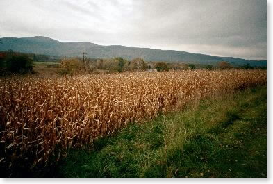
On trail about 9:00. Back to carrying a pack for the next three days. Mixture of woods and fields walking. Weather gray, temperature in 40s, chance of rain. Crossed Mass. 41 about 10:30. Started up Jug End grade before lunch after watering up at spring next to road. Steep, rocky, reminiscent of New Hampshire or Maine. Top was dry oak/pine environment. Mostly rocky ridge walking, with some views east, until I reached the Hemlocks Shelter about 2:30. Very nice standard Mass. AMC design: table, bunks, sleeping space in overhang. Only problem was there was no sign to the shelter visible to southbounders. Saw a sign just fine after I had walked past and turned around to come back. Seems to be an endemic problem with Mass shelter signs -- they can't be seen easily, at least for southbounders. Only saw one other person today -- a local near Mass. 41. No rain but snow flurries later. Getting very cold.
|
| Cornfield with Jug End in background |
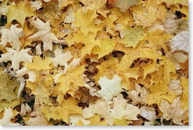 |
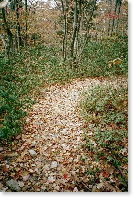
| Leaf shot |
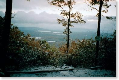
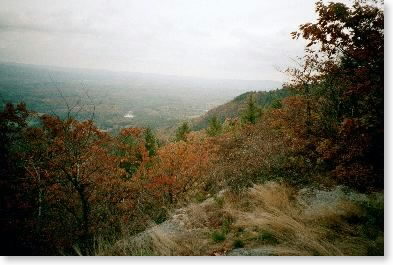 |
| View from Jug End |
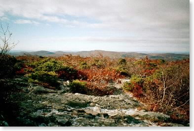 |
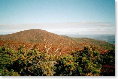
| Massachusetts mountainscape |
Saturday, November 2 -- Hemlocks Shelter to Riga Lean-to -- 10.0 miles
Long night, although sleeping bag was fine. Up about 6:00. Sunny and quite cold (about 20º) and some light snow on the ground. Water bottles pretty much frozen. Off at 8:00. Met Exodus, another southbounder, who had stayed at adjacent shelter, and hiked with him for the first hour or so. Up Mt. Everett in about half an hour. Good views. Weather cold and gray. Ledgy down, then up along long Mt. Race ridge. Very scenic ridgewalking. Past attractive Bear Rock Falls and down through woods to Sage's Ravine. Lots of oak color -- woods bright yellow. Had lunch here (1/2 hour). Nice walk along ravine then up steep ledges to Bear Mountain summit. Met parent of thru-hiker and companion, talked for a while, and yogied some cookies. Down through woods, walking through thick laurel understory. Stopped at Bond Lean-to about 2:30 and continued on to Riga Lean-to about 3:15. Very attractive view. Still cold and partly sunny. Shared lean-to with some Boy Scouts from Mass. Last night on trail.
 |
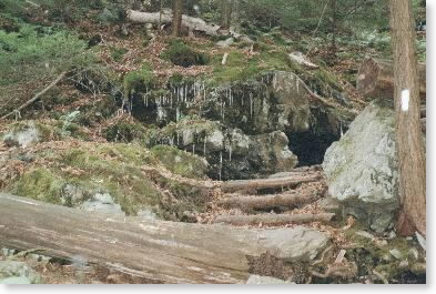
| Trailscape |
 |
| Mount Everett |
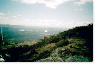 |
| View from Mt. Race |
 |
| Not a warm day |
Sunday, November 3 -- Riga Lean-to to U.S. 7 at junction with Conn. 112 near Falls Village -- 13.6 miles
Snow during night. Awoke to 1" wet snow. About freezing. Some sun, very beautiful with oak colors covered with snow. Left shelter about 7:15. Trail a bit slippery, but not bad, and could be easily followed. Took bypass around Lion's Head due to snow, down through woods to Conn. 41, then through field and along roads in Salisbury. Up Barrick Mattif (fairly steep), cool and gray (just above freezing), no snow at lower altitudes. Nice woods walking past Rand's view to the north, then up to Prospect Mtn. for lunch. Long downhill (very hard on knees) to Housatonic. Limped through trail for disabled, arrived at meeting point on U.S. 7 about 2:30, where I met Pam. Beautiful sunny afternoon along river. Over to Aunt Greta and Uncle Frank's in Litchfield, where we stayed for the rest of the trip.
 |
| View from Riga Lean-to (my last morning on the trail) |
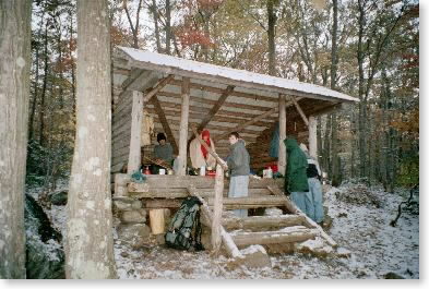 |
| Riga Lean-to |
 |
| On the trail down to Salisbury |
Monday, November 4 -- U.S. 7 at junction with Conn. 112 near Falls Village to Conn. 4 near Cornwall Bridge -- 12.1 miles
Slackpacked today and for rest of Connecticut miles. Left about 8:45. Walked half-mile loop around cornfield that I had missed yesterday, then across U.S. 7 and up into woods. Morning was mostly unremarkable woods walking. One view of Lime Rock with cars going around and making lots of noise. Half-hour lunch at Pine Swamp Brook Lean-to. Weather same as always -- gray with occasional sun, in 40s. Descended to West Cornwall/Sharon Road, then up again. Light rain started which continued the rest of the day. Got a bit slippery, but not too bad. More ridge walking in the afternoon, with views east to the Housatonic and across to Cornwall hills. Crossed two very nice brooks, then up to road. Out about 3:15. Pam and Aunt Greta picked me up in Aunt Greta's Jaguar. Saw one other hiker on the trail, near the beginning of the day.
(Note: The next two days were done as warm-up day hikes right after we arrived in New England in August.)
Monday, August 19 -- Conn. 4 near Cornwall Bridge to Conn. 341 near Kent -- 11.0 miles
Left road about 11:15 -- up and over hill, then several miles along Housatonic. Hot and humid (near 90º). Up St. John's Ledge -- very steep. Rest of day regular woods walking. Hard coming downhill at end of day. Will have to adjust style on rocky trails. Out by 4:30.
Tuesday, August 20 -- Conn. 341 near Kent to Bulls Bridge Road -- 7.9 miles
Woods wet due to a.m. showers, but temperature more moderate than yesterday. Started at noon. Up through woods to ledge with southerly view for lunch. Rest of day was woods walking through second growth, with views first of Housatonic Valley then west and south near end of day. Long downhill to road at end of day. Out at 4:15. No problem with feet.
Tuesday, November 5 -- Bulls Bridge Road to Connecticut/New York state line -- 4.1 miles
Left Bulls Bridge Road about 9:15 (Pam had flat just after dropping me off.) Up and over ridge to Housatonic. Walked along with view of rapids. Saw Exodus again. Crossed bridge over inlet stream and up over Ten Mile Hill. Weather sunny, a little wind, in 40s after frost. Pleasant sunny woods walking in hemlocks on north side and oaks on south side down to road. At state line about 11:00. Left note for Cougar Bon Bon and Idaho Joe (I was ahead of them now). Done.
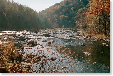 |
| The Housatonic |
Email sent to my mailing list on Nov. 5 |
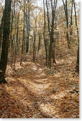 |
| Connecticut woods the last day |
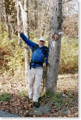 |
| Snowbird is out of the woods at last |