5/6/2009
5/6/2009
Landmark information
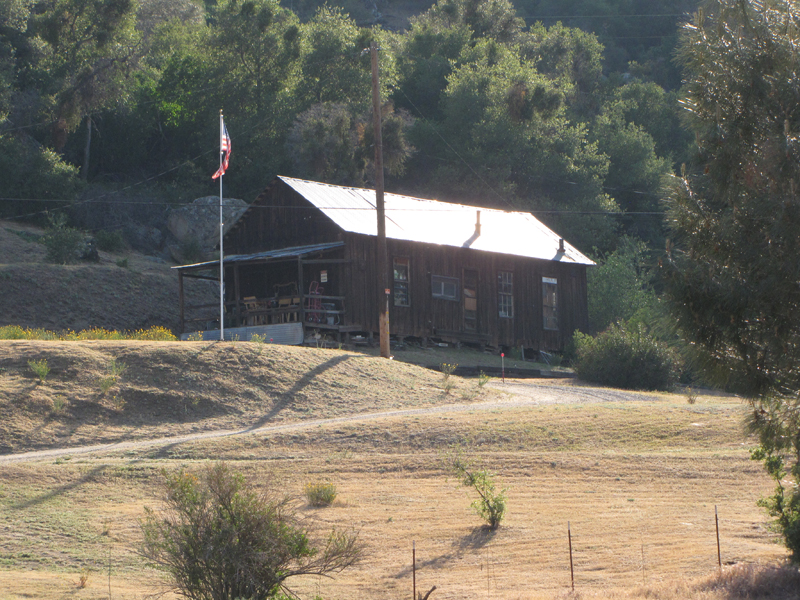
- Location:
Black Gulch Rd, 2.0 mi S of Hwy 155 (PM 70.0), 3.3 mi W of Lake Isabella - Plaque:
Other Plaque - Site:
Existing - Date First Visited:
5/21/1997 - Date Most Recently Visited:
5/6/2009 - GPS Coordinates:
N 35 37.578, W 118 30.641
About this landmark
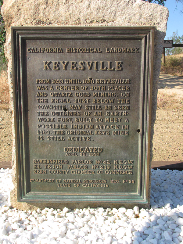
Plaque text:
Keyesville
From 1853 until 1870 Keyesville was a center of both placer and quartz gold mining. On the knoll just below the townsite may still be seen the outlines of an earthwork fort, built to meet a possible indian attack in 1868. The original Keyes mine is still active.