Maine 26 at Grafton Notch to Gentian Pond Shelter
Thursday, October 3 -- Maine 26 at Grafton Notch to Speck Pond Shelter -- 4.6 + 0.6 miles
Wet and cool. Left Grafton Notch at 11:30. Half hour for lunch. Long steady up Old Speck; nice colors. Gray and around 50º. Encountered group of three. Top was in fog when I started and as I was climbing, but began to clear as I got near the top. Arrived at Old Speck summit around 3:00. Excellent views in all directions from tower, except Presidential Range was in the clouds. Sunny with some clouds. Strange path for view cut to north. Steep down to Speck Pond Shelter. Slipped a couple of times. Back in Appalachian Mountain Club-land since Grafton Notch. Saw Bigfoot at shelter. One other guy there -- he built fire at dark. 40º before 7:00 -- should be hard frost.
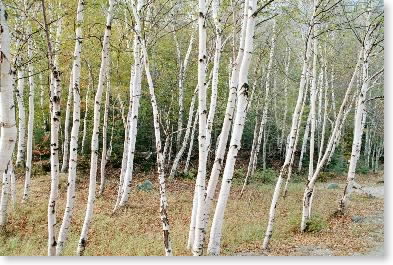 |
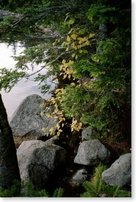
| Birches in Grafton Notch |
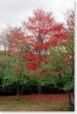 |
| Foliage near Grafton Notch |
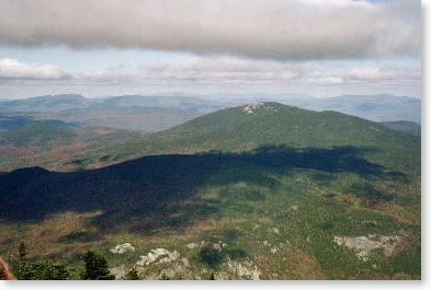 |
| North to Baldpate from Old Speck |
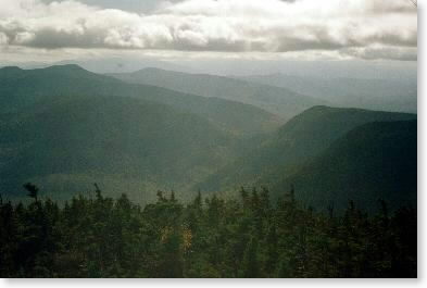 |
| Looking ahead (southwest) to Mahoosuc Notch |
 |
| Speck Pond shore |
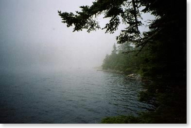 |
| Speck Pond shore |
Friday, October 4 -- Speck Pond Shelter to Full Goose Shelter -- 5.1 miles
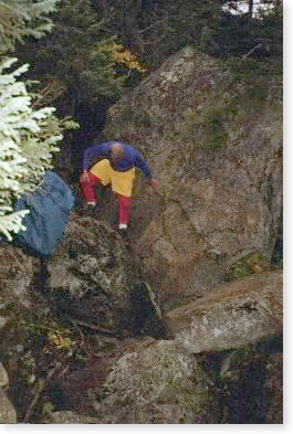
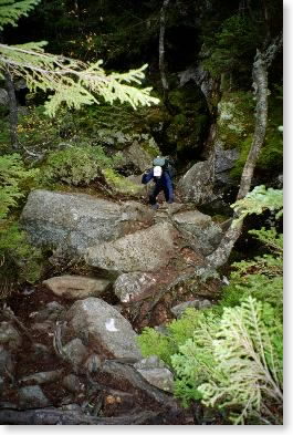
Cool but no hard frost. Misty/cloudy. Up early but decided to hang around until the large group from New Jersey that had arrived late last night or the three hikers from Maine I had talked to yesterday decided to leave to go through Mahoosuc Notch. The guys from NJ were nice but in no hurry, and I went with the three guys from Maine when they came by about 11:00. Down to notch (steep, but not as steep as I had expected) about 1:00. Had lunch by brook and geared up, and started about 2:00. Thought it was going to rain, but fortunately it didn't. Three rugged hours over/under/around rocks. Pack off once (should have been twice). Only one help-required move. No mistakes. Still cloudy and gray but the foliage was beautiful. Got a few photos. Out at end of notch after 5:00. (What constitutes "the notch" is a real question.) Anyway, arrived at junction with Mahoosuc Notch Trail after 5:00. Had 1-1/2 miles steep up out of notch to Full Goose Shelter. Was hiking with headlamp on for last 15 minutes [afternote: the only time on the entire hike I had to do this]. Large, crowded shelter. Bigfoot there already; guys from Maine arrived later; the wrecking crew from New Jersey later still. (They appeared to do most of their hiking after dark.) Warmer tonight.
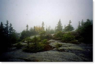 |
| Spruces on ledge near Speck Pond |
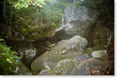 |
| Heading into Mahoosuc Notch |
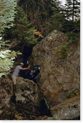 |
Hiker in Mahoosuc Notch
pushing through a mini-notch |
 |
| A dash of color on a gray day |
 |
| Snowbird in Mahoosuc Notch |
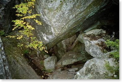 |
| Yes, the trail goes under the rock |
Email sent to my mailing list on Oct. 10 (talks about the hike through Mahoosuc Notch)
Saturday, October 5 -- Full Goose Shelter to Gentian Pond Shelter -- 9.6 miles (4.9 in Maine, 4.7 in NH)
Rainy and warm. Up early; left at 8:00. Walked with Bigfoot most of the morning -- cloudy/misty ridge/uplands first, then clearing over various peaks of Goose Eye Mountain. Some ambiguous directioning, also major cliff on trail coming off Goose Eye Mountain down into col between it and Mt. Carlo. Ladder went down nearly straight, then on the next ledge -- just as steep -- there was no ladder. Just about the most exposed spot of entire hike. Was ahead of Bigfoot most of the time. Stopped for lunch on up going over Mt. Carlo 1/2 hour. To junction with side trail to Carlo Col Shelter about 1:00, and to ME/NH state line about 1:20. Afternoon was difficult. Tiring, bent pole in fall, starting to feel the effects of the cold someone gave me. Lots of mini-Mahoosuc Notch bits of trail. Finally made it to Gentian Pond Shelter about 5:20. Shared hut with AMC trailworkers, plus Bigfoot showed up later.
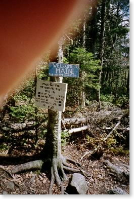 |
| Maine/New Hampshire border |
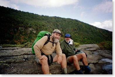 |
| Bigfoot and Snowbird near Goose Eye Mountain |