Mapping the West
Thomas Jefferson told Lewis and Clark that the object of their expedition would be to explore the Missouri River to find “the most direct and practible water communication across the continent for purposes of commerce.” He instructed Clark to make accurate maps of the land they explored.
To make these accurate maps he used equipment that included a compass, sextant, chronometer, and an octant. He used a pole connected by a chain to measure short distances of 33 feet or less. He also used the sun and the moon to chart their course.
Despite all of this equipment, Lewis mainly used a less high-tech method called “dead reckoning.” The key was good record keeping. As they traveled he used a compass and a watch to record their speed and map out their distance.
The maps that Clark created contained rivers, streams, and mountain ranges. The maps were detailed, the calculations were precise, and their importance was enormous for settling the west.

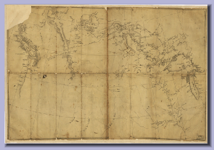
The map of the west prepared for Lewis and Clark by Nicholas King in 1803.
Picture by: Library of Congress Geograpy and Map Division Washington, D.C.
Home
Communication
In History


